
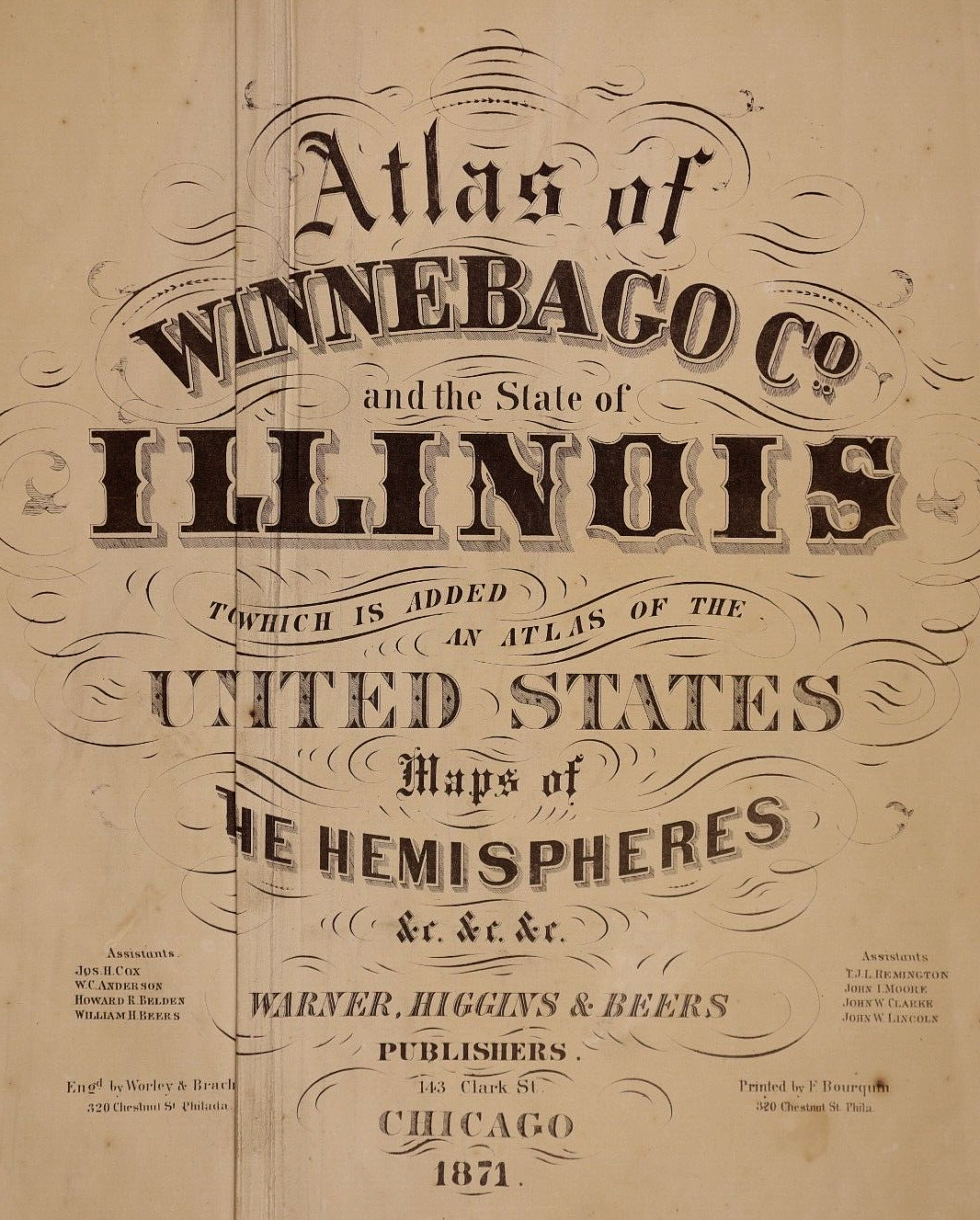
1871 Plat Map ~ DURAND Twp. - KEPOTAH, WINNEBAGO COUNTY, ILLINOIS ~ (15x17)-#005
US $45.95US $45.95
Jun 26, 03:19Jun 26, 03:19
Picture 1 of 3


Gallery
Picture 1 of 3


Have one to sell?
1871 Plat Map ~ DURAND Twp. - KEPOTAH, WINNEBAGO COUNTY, ILLINOIS ~ (15x17)-#005

US $45.95
ApproximatelyRM 194.68
or Best Offer
Was US $48.88 (6% off)
Condition:
“This map is not *new* or *new* condition. It was removed from a Winnebago County, Illinois Plat ”... Read moreabout condition
Ended: Jun 26, 2025 03:19:34 MYT
Oops! Looks like we're having trouble connecting to our server.
Refresh your browser window to try again.
Shipping:
Free USPS Ground Advantage®.
Located in: Schertz, Texas, United States
Delivery:
Estimated between Wed, 13 Aug and Tue, 19 Aug to 94104
Returns:
30 days return. Buyer pays for return shipping. If you use an eBay shipping label, it will be deducted from your refund amount.
Coverage:
Read item description or contact seller for details. See all detailsSee all details on coverage
(Not eligible for eBay purchase protection programmes)
Seller assumes all responsibility for this listing.
eBay item number:405400188736
Item specifics
- Seller Notes
- US State
- Illinois
- Format
- Atlas Map
- Year
- 1871
- S&H
- Free S&H USA - Calculated S&H Worldwide
- Cartographer/Publisher
- Werner, Higgins & Beers
- Original/Reproduction
- Antique Original
- Land Owners
- Great for ancestry, genealogy & family history research
- County
- Winnebago County
- Original
- This map page was printed in 1871.
- Ref.
- The title page is not included, it is only for reference.
- Age
- Over 140 years old.
Item description from the seller

Seller feedback (9,640)
This item (1)
All items (9,640)
- t***i (548)- Feedback left by buyer.Past monthVerified purchaseGreat packaging, exact as described, and great communication!
- i***l (3343)- Feedback left by buyer.Past monthVerified purchaseThank you!!
- 7***k (1831)- Feedback left by buyer.Past monthVerified purchaseExcellent transaction, A+ EBAY Seller! Thank you! Item as described!
- a***a (468)- Feedback left by buyer.Past monthVerified purchaseThank you for aiding me in my historical quest of my families Indian tribe’s locations! (The Gros Ventre’s!) The vintage original 1887 map I purchased of Montana & Wyoming tell a tale we hardly know anymore! Fast shipping, well packaged, as described/pictured, & a great value! Thank you for your fair pricing!
More to explore :
- Illinois County Map Antique North America Atlas Maps,
- Illinois Antique North America County Maps,
- Illinois County Map Antique North America Folding Maps,
- Illinois County Map Antique North America Atlas,
- Washington Illinois Antique North America County Maps,
- Antique County Maps,
- Illinois 1920-1929 Date Range Antique North America County Maps,
- County Map Antique School Maps,
- Contemporary County Map Antique Atlas Maps,
- County Map Antique Atlas
Seller feedback (9,640)
This item (1)
All items (9,640)
- t***i (548)- Feedback left by buyer.Past monthVerified purchaseGreat packaging, exact as described, and great communication!
- i***l (3343)- Feedback left by buyer.Past monthVerified purchaseThank you!!
- 7***k (1831)- Feedback left by buyer.Past monthVerified purchaseExcellent transaction, A+ EBAY Seller! Thank you! Item as described!
- a***a (468)- Feedback left by buyer.Past monthVerified purchaseThank you for aiding me in my historical quest of my families Indian tribe’s locations! (The Gros Ventre’s!) The vintage original 1887 map I purchased of Montana & Wyoming tell a tale we hardly know anymore! Fast shipping, well packaged, as described/pictured, & a great value! Thank you for your fair pricing!