Picture 1 of 22


Gallery
Picture 1 of 22


Have one to sell?
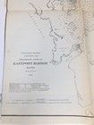
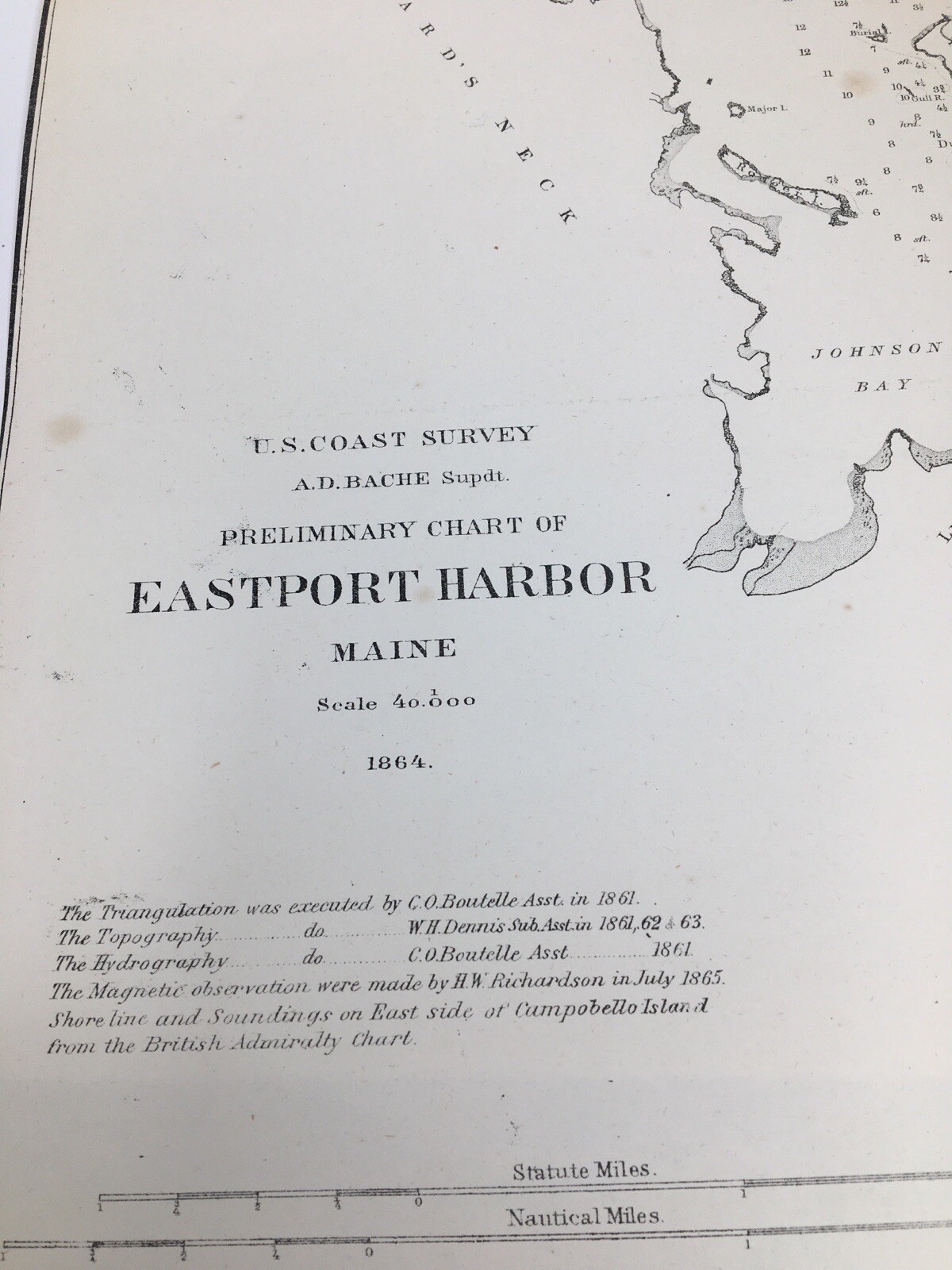
1864 US Coast Survey Eastport Harbor Maine Map Preliminary Chart AD Bache G3
US $40.00
ApproximatelyRM 171.13
Was US $50.00 (20% off)
Condition:
Oops! Looks like we're having trouble connecting to our server.
Refresh your browser window to try again.
Shipping:
Free USPS Ground Advantage®.
Located in: Rochester, New York, United States
Delivery:
Estimated between Fri, 8 Aug and Thu, 14 Aug to 94104
Returns:
No returns accepted.
Coverage:
Read item description or contact seller for details. See all detailsSee all details on coverage
(Not eligible for eBay purchase protection programmes)
Seller assumes all responsibility for this listing.
eBay item number:404570707637
Item specifics
- Date Range
- 1800-1899
- Type
- US Coast Survey
- Format
- Folding Map
- Printing Technique
- Lithography
- US State
- Maine
- Year
- 1864
- Original/Reproduction
- Antique Original
- Cartographer/Publisher
- A.D. Bache
- Country/Region
- United States of America
Item description from the seller
Seller feedback (2,339)
- 9***j (102)- Feedback left by buyer.Past monthVerified purchaseAll manuals arrived in good condition just like the listing stated. Shipping was good and the items were packaged with care.
- s***l (469)- Feedback left by buyer.Past monthVerified purchaseWonderful items, as described. I'm a repeat customer and am very pleased with the items, packaging, and transaction, from this seller. Thank you!
- s***l (469)- Feedback left by buyer.Past monthVerified purchaseGreat items as described. Protectively packaged. Promptly shipped. I am very pleased with these items, trouble free transaction, and seller! Thank you.
More to explore :
- Antique Ordnance Survey Maps,
- Antique Europe Ordnance Survey Maps,
- US Coast Guard Antique Maritime Navigational Charts,
- Vintage Original Antique Ordnance Survey Maps,
- Antique Original Antique Ordnance Survey Maps,
- Antique North America Ordnance Survey Maps,
- Antique Original Antique Europe Ordnance Survey Maps,
- Antique North American Maps & Atlases Maine,
- Boston Maine Antique North America Atlas Maps,
- Washington Maine Antique North America County Maps