Picture 1 of 12


Gallery
Picture 1 of 12


Have one to sell?
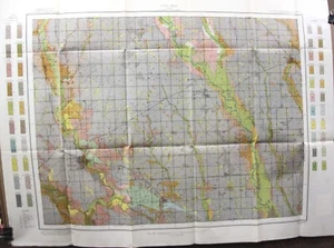
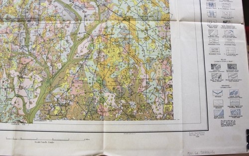
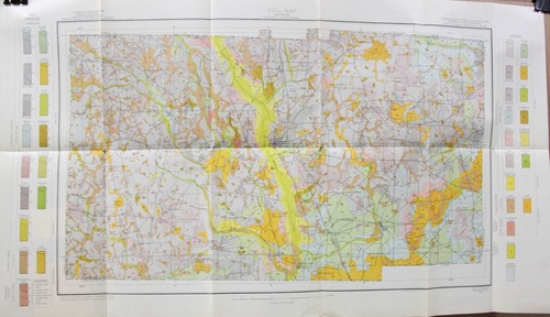
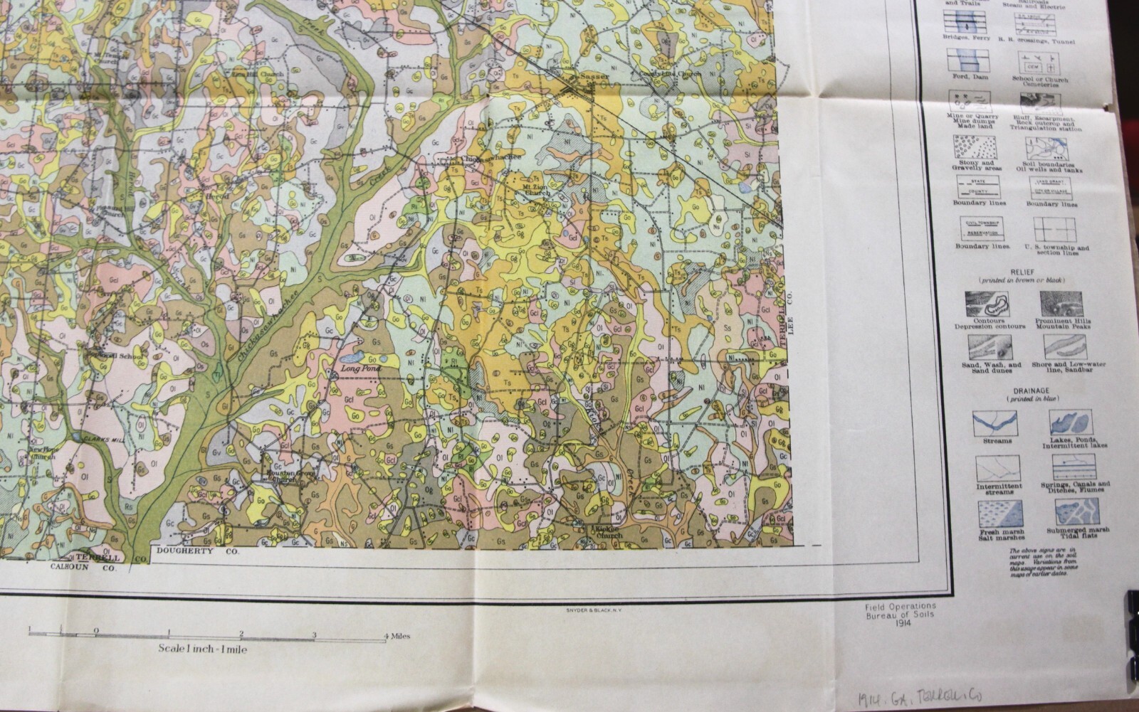
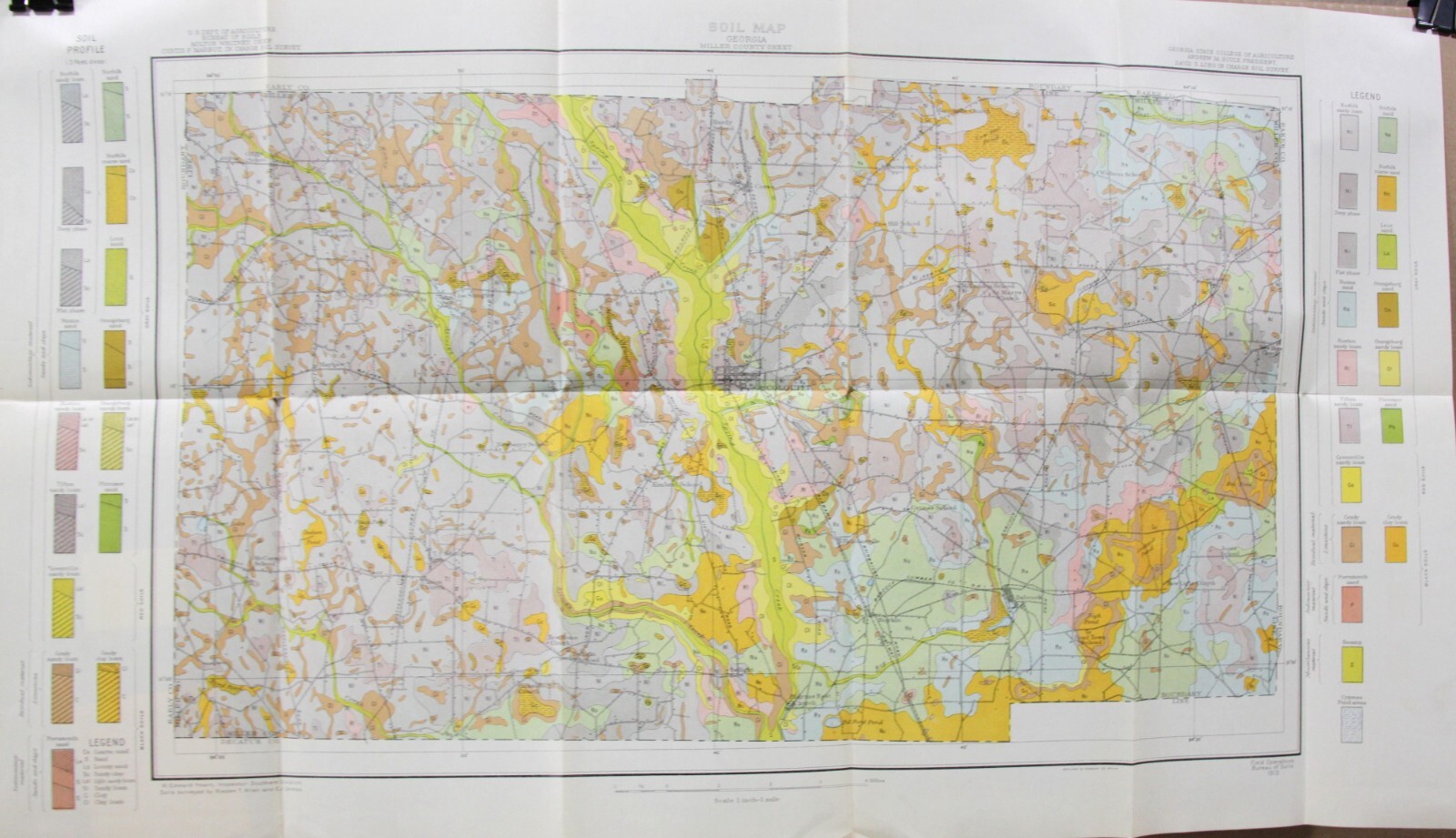
23 Diff USDA Bureau of Soils – State & County Soil Maps 1909-1914 Various States

US $125.00
ApproximatelyRM 528.63
Condition:
“All maps folded. Most are very good. Some have small splits along fold corners. Clinton NY map has ”... Read moreabout condition
Oops! Looks like we're having trouble connecting to our server.
Refresh your browser window to try again.
Pickup:
Free local pickup from Tempe, Arizona, United States.
Shipping:
Free USPS Media MailTM.
Located in: Tempe, Arizona, United States
Delivery:
Estimated between Mon, 8 Sep and Wed, 10 Sep to 94104
Returns:
30 days return. Seller pays for return shipping.
Coverage:
Read item description or contact seller for details. See all detailsSee all details on coverage
(Not eligible for eBay purchase protection programmes)
Seller assumes all responsibility for this listing.
eBay item number:394637609990
Item specifics
- Seller Notes
- Date Range
- 1900-1909
- Type
- County Map
- Format
- Sheet Map
- Printing Technique
- Lithography
- Year
- 1909
- Original/Reproduction
- Antique Original
- Country/Region
- United States of America
Item description from the seller

Seller feedback (13,350)
- Automatische Bewertung von eBay- Feedback left by buyer.Past monthBestellung erfolgreich durchgeführt - mit Sendungsverfolgung und fristgerecht
- Automatische Bewertung von eBay- Feedback left by buyer.Past monthBestellung erfolgreich durchgeführt - mit Sendungsverfolgung und fristgerecht
- Automatische Bewertung von eBay- Feedback left by buyer.Past monthBestellung erfolgreich durchgeführt - mit Sendungsverfolgung und fristgerecht
More to explore :
- United States of America County Map Antique North America Atlas Maps,
- United States of America Antique North America County Maps,
- United States of America County Map Antique North America Wall Maps,
- United States of America County Map Antique North America Sheet Maps,
- United States of America California Antique North America County Maps,
- United States of America Missouri Antique North America County Maps,
- United States of America North Dakota Antique North America County Maps,
- United States of America New Hampshire Antique North America County Maps,
- 1900-1909 Date Range Antique Europe County Maps,
- Lithography 1900-1909 Date Range Antique County Maps
Seller feedback (13,350)
- Automatische Bewertung von eBay- Feedback left by buyer.Past monthBestellung erfolgreich durchgeführt - mit Sendungsverfolgung und fristgerecht
- Automatische Bewertung von eBay- Feedback left by buyer.Past monthBestellung erfolgreich durchgeführt - mit Sendungsverfolgung und fristgerecht
- Automatische Bewertung von eBay- Feedback left by buyer.Past monthBestellung erfolgreich durchgeführt - mit Sendungsverfolgung und fristgerecht