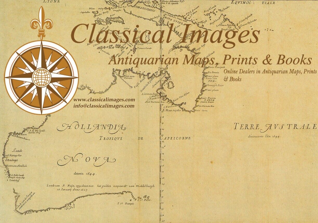
Picture 1 of 4


Gallery
Picture 1 of 4


Have one to sell?
1628 Jan Jansson Antique Map of the Picardy or Picardie Region of France

US $175.00
ApproximatelyRM 742.88
Condition:
“VG”
Oops! Looks like we're having trouble connecting to our server.
Refresh your browser window to try again.
Shipping:
US $14.99 (approx RM 63.63) Standard Shipping from outside US.
Located in: Ivanhoe, VIC, Australia
Delivery:
Estimated between Wed, 13 Aug and Mon, 25 Aug to 94104
Returns:
30 days return. Seller pays for return shipping.
Coverage:
Read item description or contact seller for details. See all detailsSee all details on coverage
(Not eligible for eBay purchase protection programmes)
Seller assumes all responsibility for this listing.
eBay item number:354324189195
Item specifics
- Seller Notes
- “VG”
- Date Range
- 1600-1699
- Type
- County Map
- Printing Technique
- Copper Plate
- Format
- Atlas Map
- Year
- 1628
- State
- Picardy
- Original/Reproduction
- Antique Original
- Cartographer/Publisher
- Jan Jansson
- Country/Region
- France
- County
- Picardy
Item description from the seller
Seller business information
VAT number: AU 54097057022

Seller feedback (6,593)
- c***i (453)- Feedback left by buyer.Past monthVerified purchaseExactly as hoped! Thanks!
- b***1 (532)- Feedback left by buyer.Past monthVerified purchaseThe map is exactly as shown in the photo, very nice condition.
- c***v (19)- Feedback left by buyer.Past monthVerified purchaseI was overjoyed that the shipment to Germany was prompt and hassle free.
More to explore :
- Antique European Maps & Atlases Jan Jansson,
- Jan Jansson Antique Maps, Atlases & Globes,
- Jan Jansson Antique Maps, Atlases & Globes 1600-1699 Date Range,
- Antique European Maps Jan Jansson 1600-1699 Date Range Atlases,
- Paris France Antique Maps,
- France Antique Europe Topographical Maps,
- France Antique Europe Railroad Maps,
- France Antique Europe School Maps,
- France Antique Original Antique Europe Sheet Maps,
- France Antique Original Antique Europe County Maps
Seller feedback (6,593)
- c***i (453)- Feedback left by buyer.Past monthVerified purchaseExactly as hoped! Thanks!
- b***1 (532)- Feedback left by buyer.Past monthVerified purchaseThe map is exactly as shown in the photo, very nice condition.
- c***v (19)- Feedback left by buyer.Past monthVerified purchaseI was overjoyed that the shipment to Germany was prompt and hassle free.