Picture 1 of 6


Gallery
Picture 1 of 6


Have one to sell?
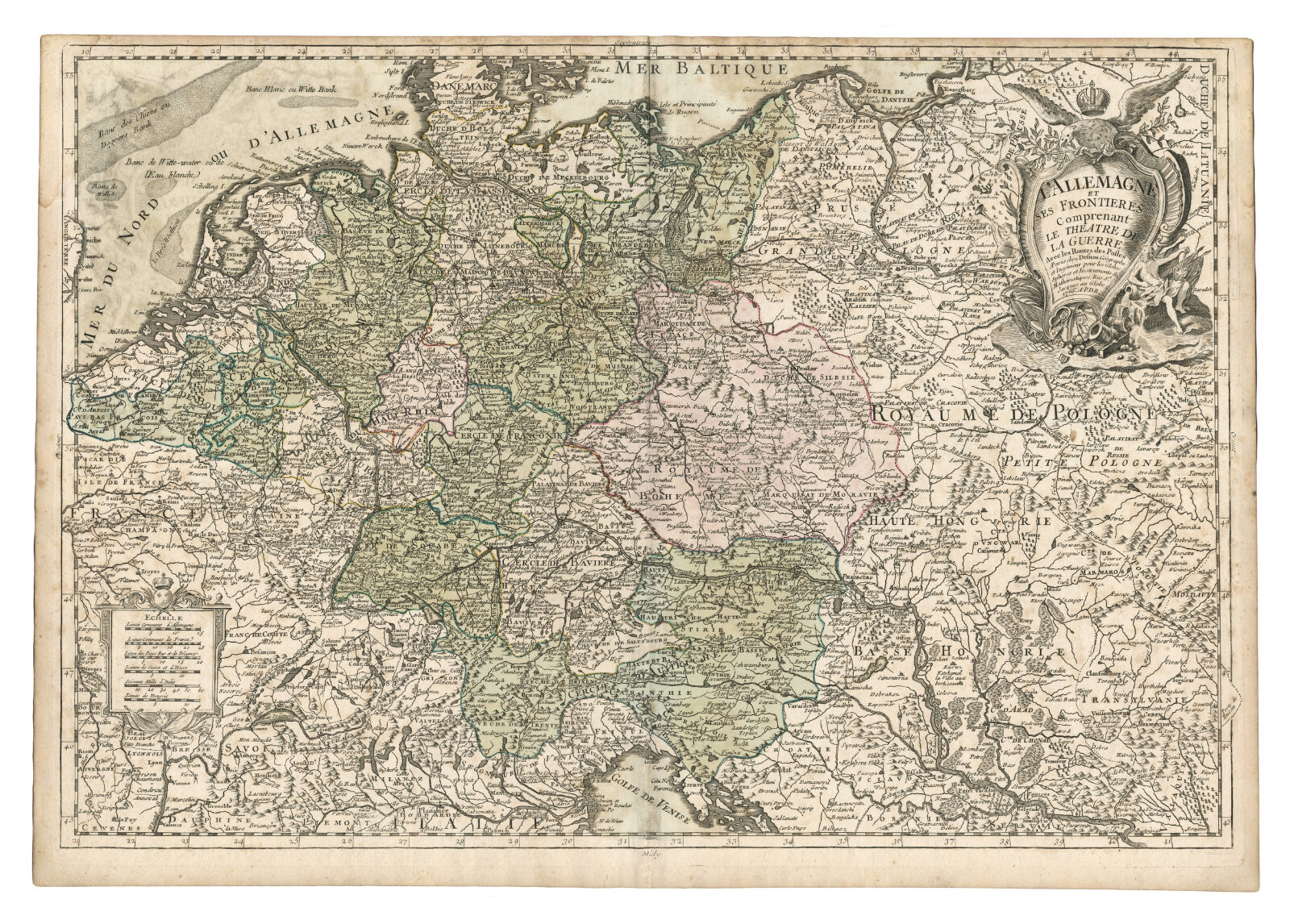
Antique Map "L'Allemagne et Ses Frontieres" (Germany) Desnon, 1766

GBP 260.00
ApproximatelyRM 1,475.17
or Best Offer
Condition:
Oops! Looks like we're having trouble connecting to our server.
Refresh your browser window to try again.
Shipping:
GBP 18.00 (approx RM 102.13) Royal Mail International Tracked.
Located in: London, United Kingdom
Delivery:
Estimated between Tue, 14 Oct and Sat, 25 Oct to 94104
Returns:
No returns accepted.
Coverage:
Read item description or contact seller for details. See all detailsSee all details on coverage
(Not eligible for eBay purchase protection programmes)
Seller assumes all responsibility for this listing.
eBay item number:335736268079
Item specifics
- Date Range
- 1700-1799
- Antique
- Yes
- Type
- County Map
- Format
- Sheet Map
- Printing Technique
- Copper Plate
- Year
- 1766
- Era
- 1700s
- Cartographer/Publisher
- Louis-Charles Desnos
- Original/Reproduction
- Antique Original
- Country/Region
- Austria, Belgium, Germany, Luxembourg, Netherlands, Poland, Switzerland
Item description from the seller

Popular categories from this store
Seller feedback (322)
- Évaluations automatiques eBay- Feedback left by buyer.Past monthCommande livrée dans les délais et sans problème
- Évaluations automatiques eBay- Feedback left by buyer.Past monthCommande livrée dans les délais et sans problème
- j***n (2003)- Feedback left by buyer.Past monthVerified purchaseArrived promptly
More to explore :
- Germany Antique City Maps,
- Antique European Maps & Atlases Germany,
- Germany Antique Europe Physical Maps,
- Germany Antique Europe Geological Maps,
- Germany County Map Antique Europe Atlas Maps,
- Germany Antique Europe River Maps,
- Germany Antique Europe Topographical Maps,
- Germany Antique Original Antique Europe Sheet Maps,
- Germany Saxony Antique Europe Atlas Maps,
- Antique European Maps & Atlases Cologne Germany
Popular categories from this store
Seller feedback (322)
- Évaluations automatiques eBay- Feedback left by buyer.Past monthCommande livrée dans les délais et sans problème
- Évaluations automatiques eBay- Feedback left by buyer.Past monthCommande livrée dans les délais et sans problème
- j***n (2003)- Feedback left by buyer.Past monthVerified purchaseArrived promptly