
Picture 1 of 8


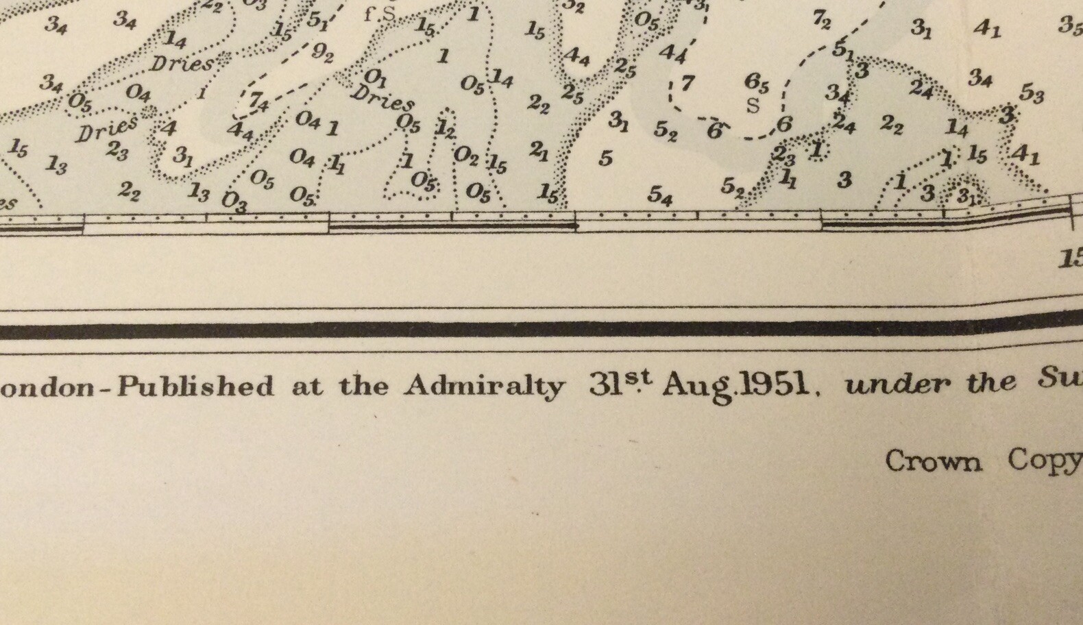

VINTAGE ADMIRALTY CHART. No.1670. APPROACHES to MORETON BAY. 1951 EDITION.
Condition:
Postage:
GBP 14.54 (approx RM 86.57) Expedited Postage to United States via eBay's Global Shipping Program. See detailsfor shipping
Located in: Gullane, East Lothian , United Kingdom
Import charges:
Free amount confirmed at checkout
Delivery:
Estimated between Thu, 30 May and Fri, 7 Jun to 43230
Includes international tracking
Returns:
Coverage:
Read item description or contact seller for details. See all detailsSee all details on coverage
(Not eligible for eBay purchase protection programmes)
Seller assumes all responsibility for this listing.
eBay item number:335228751934
Item specifics
- Date Range
- 1950-1959
- Type
- Nautical Map
- Format
- Sheet Map
- Year
- 1951
- State/Territory
- Queensland
- Cartographer/Publisher
- British Hydrographic Office.
- Original/Reproduction
- Vintage Original
- City
- Caloundra, Bribie.
- Country/Region
- Australia
Item description from the seller
Seller assumes all responsibility for this listing.
eBay item number:335228751934
Postage and handling
Item location:
Gullane, East Lothian , United Kingdom
Post to:
Antigua and Barbuda, Aruba, Australia, Austria, Bahamas, Bahrain, Bangladesh, Barbados, Belgium, Belize, Bermuda, Bolivia, Brazil, Brunei Darussalam, Bulgaria, Cambodia, Canada, Cayman Islands, Chile, China, Colombia, Costa Rica, Cyprus, Czech Republic, Denmark, Dominica, Dominican Republic, Ecuador, Egypt, El Salvador, Estonia, Finland, France, French Guiana, Germany, Gibraltar, Greece, Grenada, Guadeloupe, Guatemala, Guernsey, Honduras, Hong Kong, Hungary, Iceland, Indonesia, Ireland, Israel, Italy, Jamaica, Japan, Jersey, Jordan, Kuwait, Latvia, Liechtenstein, Lithuania, Luxembourg, Macau, Malaysia, Maldives, Malta, Martinique, Mexico, Monaco, Montserrat, Netherlands, New Zealand, Nicaragua, Norway, Oman, Pakistan, Panama, Paraguay, Peru, Philippines, Poland, Portugal, Qatar, Republic of Croatia, Reunion, Romania, Saint Kitts-Nevis, Saint Lucia, Saudi Arabia, Singapore, Slovakia, Slovenia, South Africa, South Korea, Spain, Sri Lanka, Sweden, Switzerland, Taiwan, Thailand, Trinidad and Tobago, Turks and Caicos Islands, Ukraine, United Arab Emirates, United Kingdom, United States, Uruguay, Vietnam
Excludes:
Afghanistan, Libya, Nauru, Russian Federation, Somalia, Yemen
| Postage and handling | Import charges | To | Service | Delivery*See Delivery notes |
|---|---|---|---|---|
| GBP 14.54 (approx RM 86.57) | See import charges at checkout | United States | Expedited Postage (International Priority Shipping) | Estimated between Thu, 30 May and Fri, 7 Jun to 43230 |
| Handling time |
|---|
| Will usually post within 4 business days of receiving cleared payment. |
| Taxes |
|---|
| Taxes may be applicable at checkout. Learn moreLearn more about paying tax on eBay purchases. |
Sales Tax for an item #335228751934
Sales Tax for an item #335228751934
Seller collects sales tax for items shipped to the following states:
| State | Sales Tax Rate |
|---|
Return policy
| After receiving the item, contact seller within |
|---|
| 14 days |
The buyer is responsible for return postage costs.

Seller feedback (3,688)
s***f (331)- Feedback left by buyer.
Past month
Verified purchase
Beautifully packaged with the cardboard tube placed inside a second box marked fragile. Excellent quality. Arrived days before I expected it. I highly recommend this seller.
e***7 (623)- Feedback left by buyer.
Past month
Verified purchase
Thank you!
l***t (528)- Feedback left by buyer.
Past month
Verified purchase
Very well packaged - in a tube in a box - very impressed, thank you
More to explore :
- Vintage Original Antique Maritime Navigational Charts,
- Canada Vintage Original Antique Maritime Navigational Charts,
- Antique Maritime Navigational Charts,
- US Navy Vintage Original Antique Maritime Navigational Charts,
- Vietnam War Vintage Original Antique Maritime Navigational Charts,
- United States Vintage Original Antique Maritime Navigational Charts,
- Australia Antique Maritime Navigational Charts,
- WWI Antique Maritime Navigational Charts,
- United States WWII Antique Maritime Navigational Charts,
- British Royal Navy Antique Maritime Navigational Charts