Picture 1 of 7


Gallery
Picture 1 of 7


Have one to sell?
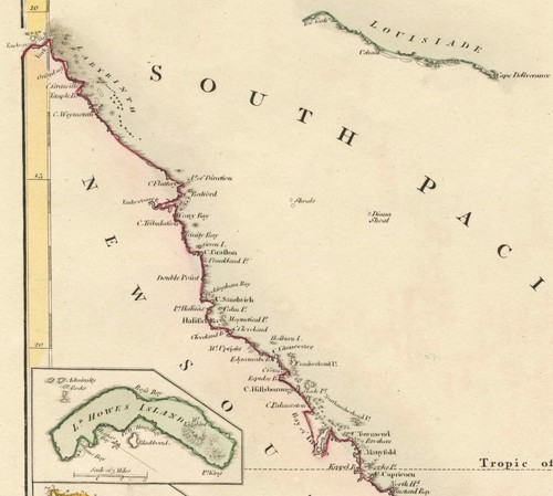
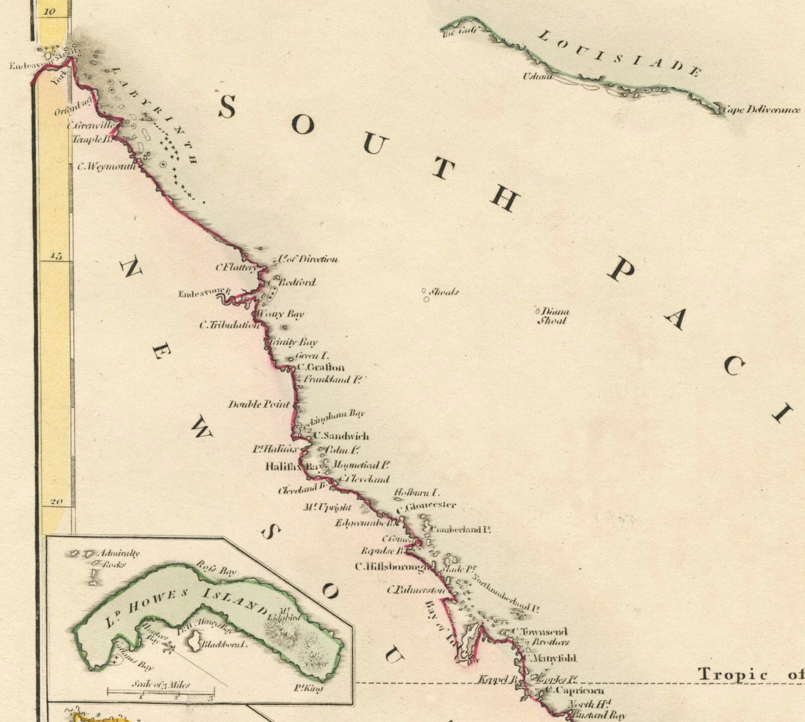
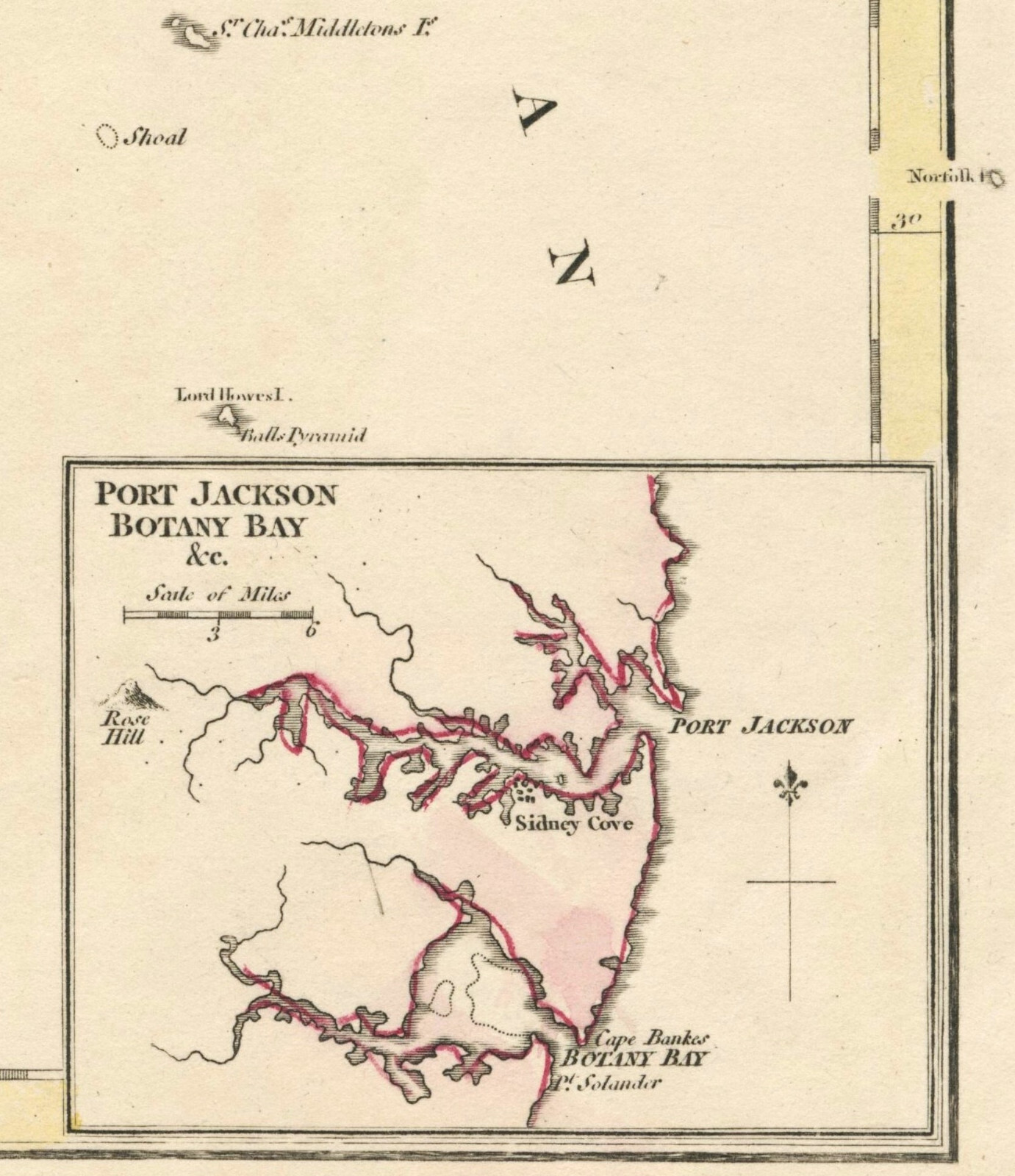
Antique "A New and Accurate Map of New South Wales" (Australia) Wilkinson, 1794

GBP 290.00
ApproximatelyRM 1,645.31
or Best Offer
Condition:
Oops! Looks like we're having trouble connecting to our server.
Refresh your browser window to try again.
Shipping:
GBP 18.00 (approx RM 102.12) International Tracked Postage.
Located in: London, United Kingdom
Delivery:
Estimated between Fri, 24 Oct and Mon, 10 Nov to 94104
Returns:
No returns accepted.
Coverage:
Read item description or contact seller for details. See all detailsSee all details on coverage
(Not eligible for eBay purchase protection programmes)
Seller assumes all responsibility for this listing.
eBay item number:335165201260
Item specifics
- Date Range
- 1700-1799
- Antique
- Yes
- Type
- Physical Map
- Format
- Sheet Map
- Printing Technique
- Copper Plate
- Year
- 1794
- Era
- 1700s
- State/Territory
- New South Wales, Lord Howe Island, Norfolk Island
- Original/Reproduction
- Antique Original
- Cartographer/Publisher
- Robert Wilkinson - T. Foot
- City
- Sydney
- Country/Region
- Australia
Item description from the seller

Popular categories from this store
Seller feedback (325)
- e***2 (1306)- Feedback left by buyer.Past 6 monthsVerified purchaseExquisite 18th century depiction and gravure of the legendary Bastille by one of the greatest artists of the period and the engraver. Offered at a price point which was generous and more than affordable. This gravure was professionally, expertly packaged—which is a distinct pleasure. It is always pleasing to deal with a professional business in antiquities, as they possess the knowledge in handling fragile, irreplaceable, historical art. Sent securely by Fedex, arriving very quickly. RecommendedAntique Print "A View of the Bastile at Paris" (Bastille) Rigaud, 1749 (#335814097225)
- 9***a (902)- Feedback left by buyer.Past monthVerified purchaseGreat seller! Great engraving! Well packaged. Fast shipping.
- f***5 (5)- Feedback left by buyer.Past yearVerified purchaseQuickly shipped, very well packaged with supporting internal card and plastic. As described and in good condition. Thank you once more. Comes once more with a certificate of authenticity, which is very much appreciated. This is my second map from this gallery and probably won't be the last. Highly recommended.Map "Southern Alps of New Zealand" Royal Geographical Society, 1910 (#334963326798)
More to explore :
- New South Wales Australia Antique Australia/Oceania Maps & Atlases,
- New South Wales Antique Australia/Oceania Maps & Atlases,
- New South Wales Antique Australia/Oceania Atlas Maps,
- New South Wales Lithography Antique Australia/Oceania Maps & Atlases,
- New South Wales Antique Original Antique Australia/Oceania Atlas Maps,
- New South Wales Melbourne Antique Australia/Oceania Maps & Atlases,
- New South Wales 1900-1909 Date Range Antique Australia/Oceania Maps & Atlases,
- New Zealand Antique Australia/Oceania Maps & Atlases,
- New Zealand Lithography Antique Australia/Oceania Maps & Atlases,
- Wales Antique Europe Sheet Maps
Popular categories from this store
Seller feedback (325)
- e***2 (1306)- Feedback left by buyer.Past 6 monthsVerified purchaseExquisite 18th century depiction and gravure of the legendary Bastille by one of the greatest artists of the period and the engraver. Offered at a price point which was generous and more than affordable. This gravure was professionally, expertly packaged—which is a distinct pleasure. It is always pleasing to deal with a professional business in antiquities, as they possess the knowledge in handling fragile, irreplaceable, historical art. Sent securely by Fedex, arriving very quickly. RecommendedAntique Print "A View of the Bastile at Paris" (Bastille) Rigaud, 1749 (#335814097225)
- 9***a (902)- Feedback left by buyer.Past monthVerified purchaseGreat seller! Great engraving! Well packaged. Fast shipping.
- f***5 (5)- Feedback left by buyer.Past yearVerified purchaseQuickly shipped, very well packaged with supporting internal card and plastic. As described and in good condition. Thank you once more. Comes once more with a certificate of authenticity, which is very much appreciated. This is my second map from this gallery and probably won't be the last. Highly recommended.Map "Southern Alps of New Zealand" Royal Geographical Society, 1910 (#334963326798)