Picture 1 of 5


Gallery
Picture 1 of 5


Have one to sell?
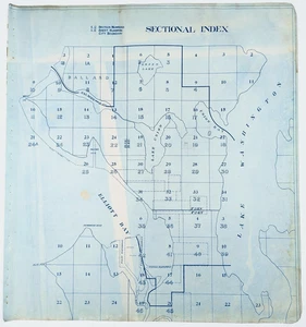
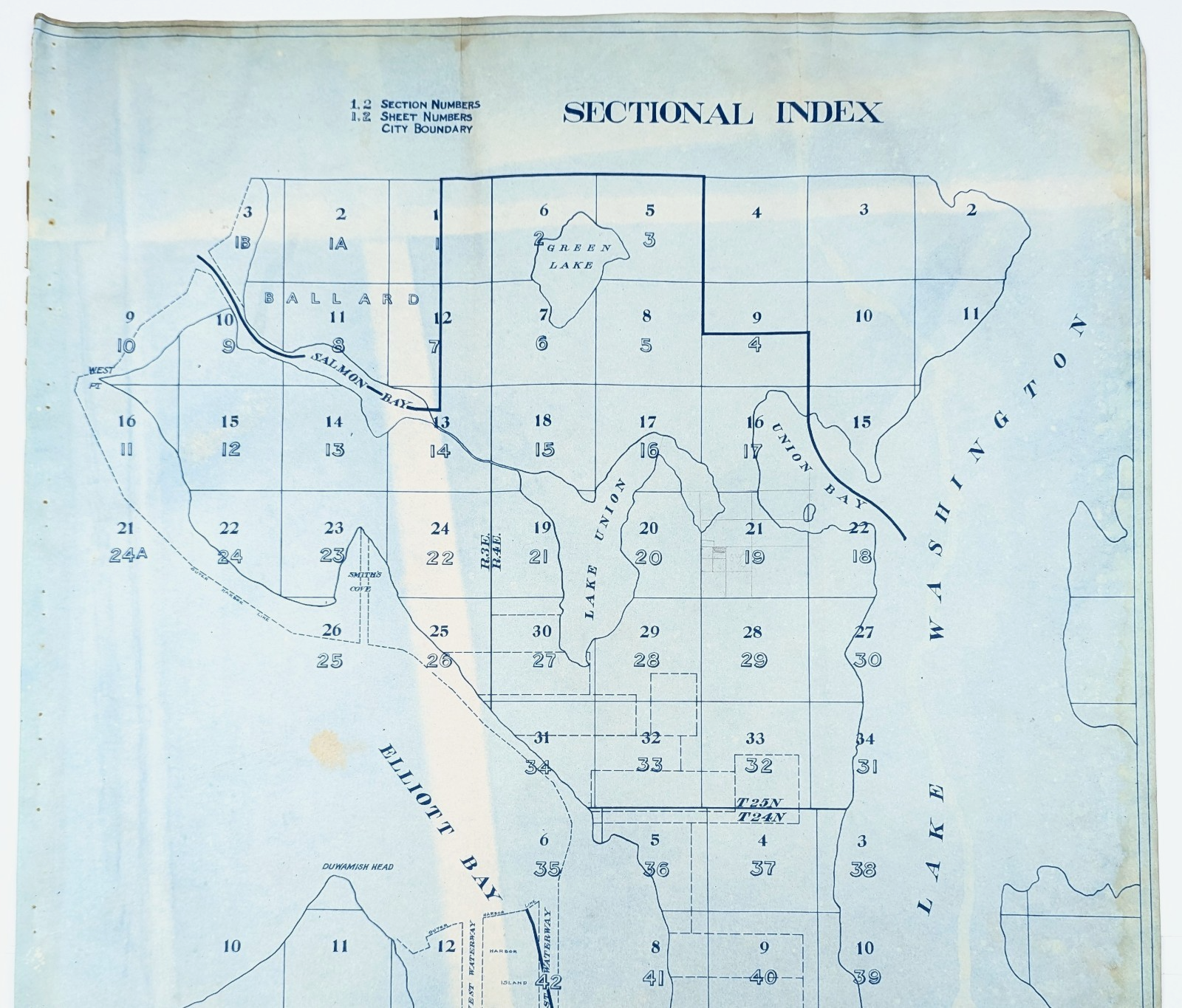
1900 SEATTLE Map ORIGINAL (24x22) Downtown Ballard Pioneer Capital Hill

US $34.00
ApproximatelyRM 143.11
or Best Offer
Condition:
“FAIR CONDITION, DISCOLORATION, WATER STAINING AT EDGES, BINDING STAPLE HOLES AT LEFT EDGE, PENCIL ”... Read moreabout condition
Oops! Looks like we're having trouble connecting to our server.
Refresh your browser window to try again.
Shipping:
US $12.98 (approx RM 54.63) USPS Ground Advantage®.
Located in: Carefree, Arizona, United States
Delivery:
Estimated between Thu, 9 Oct and Thu, 16 Oct to 94104
Returns:
30 days return. Seller pays for return shipping.
Coverage:
Read item description or contact seller for details. See all detailsSee all details on coverage
(Not eligible for eBay purchase protection programmes)
Seller assumes all responsibility for this listing.
eBay item number:326767981430
Item specifics
- Seller Notes
- Date Range
- 1900-1909
- Type
- City Map
- US State
- Washington
- Format
- Atlas Map
- Printing Technique
- Blueprint
- Year
- 1900
- Original/Reproduction
- Antique Original
- Cartographer/Publisher
- Washington Map & Blueprint Co.
- City
- Seattle
- Country/Region
- United States of America
Item description from the seller

Seller feedback (6,562)
- _***d (1481)- Feedback left by buyer.Past monthVerified purchaseExcellent
- eBay 自動留下信用評價- Feedback left by buyer.Past month訂單準時送達,沒遇到任何問題
- eBay 自動留下信用評價- Feedback left by buyer.Past month訂單準時送達,沒遇到任何問題
More to explore :
- Australian Capital Territory Antique Original Antique Australia/Oceania Maps & Atlases,
- Vintage Original 1900-1909 Date Range Antique Topographical Maps,
- Antique Original 1900-1909 Date Range Antique Railroad Maps,
- Antique Original 1900-1909 Date Range Antique Physical Maps,
- Antique Original 1900-1909 Date Range Antique City Maps,
- Antique Original 1900-1909 Date Range Antique Europe City Maps,
- Antique Original Antique World Maps & Atlases 1900-1909 Date Range,
- 1900-1909 Date Range City Map Antique Sheet Maps,
- Antique Original 1900-1909 Date Range Antique North America Folding Maps,
- Antique Original 1900-1909 Date Range Antique North America River Maps
Seller feedback (6,562)
- _***d (1481)- Feedback left by buyer.Past monthVerified purchaseExcellent
- eBay 自動留下信用評價- Feedback left by buyer.Past month訂單準時送達,沒遇到任何問題
- eBay 自動留下信用評價- Feedback left by buyer.Past month訂單準時送達,沒遇到任何問題