Picture 1 of 13


Gallery
Picture 1 of 13


Have one to sell?
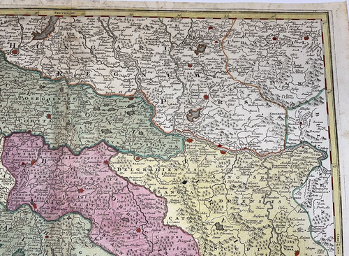
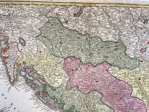
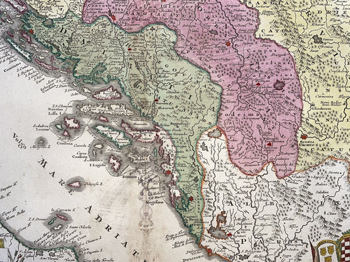
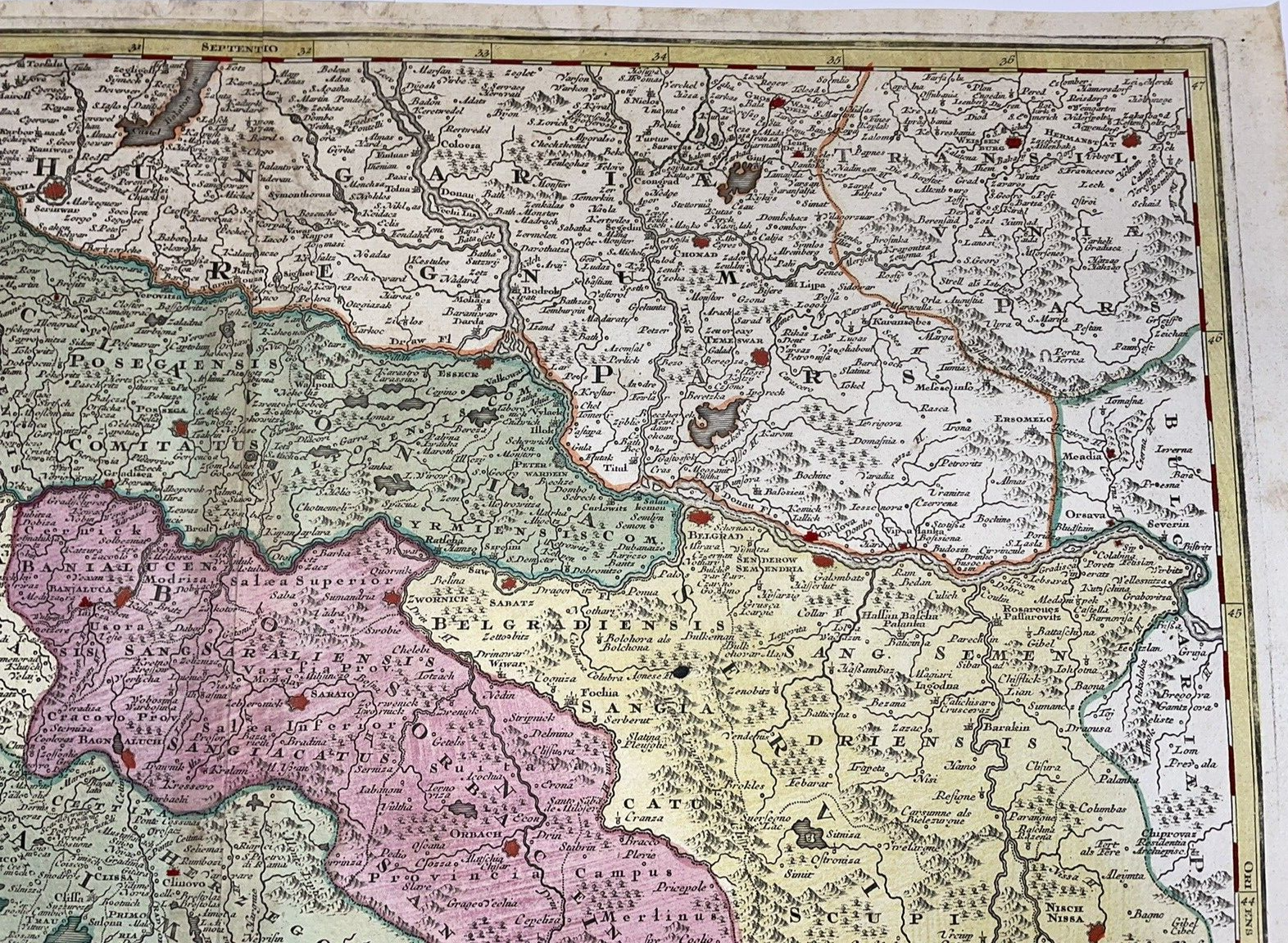
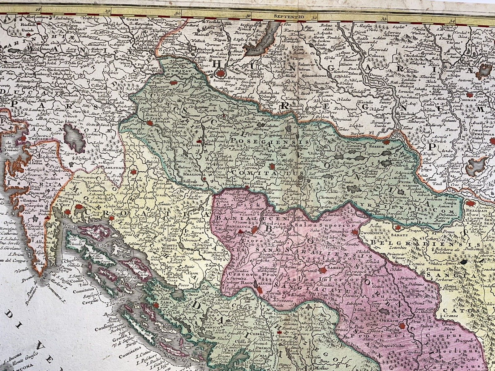
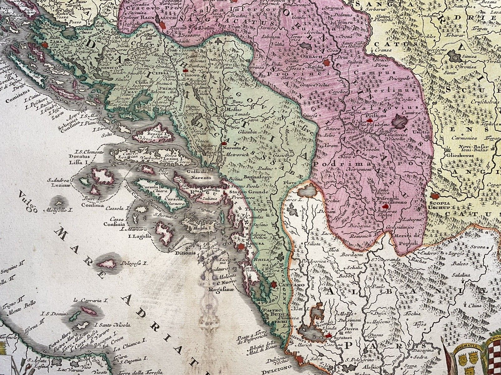
BALKANS MATTHAUS SEUTTER / PROBST 1740 LARGE ANTIQUE ENGRAVED MAP 18TH CENTURY

US $640.00
ApproximatelyRM 2,707.84
or Best Offer
Condition:
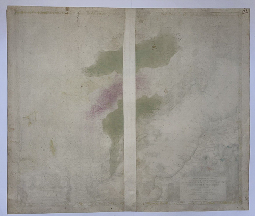
“good condition”
Oops! Looks like we're having trouble connecting to our server.
Refresh your browser window to try again.
Shipping:
US $38.00 (approx RM 160.78) FedEx Express Saver®.
Located in: Paris, France
Delivery:
Estimated between Mon, 8 Sep and Fri, 12 Sep to 94104
Returns:
14 days return. Buyer pays for return shipping. If you use an eBay shipping label, it will be deducted from your refund amount.
Coverage:
Read item description or contact seller for details. See all detailsSee all details on coverage
(Not eligible for eBay purchase protection programmes)
Shop with confidence
Seller assumes all responsibility for this listing.
eBay item number:286195018391
Item specifics
- Seller Notes
- “good condition”
- Date Range
- 1700-1799
- Printing Technique
- Copper Plate
- Year
- 1740
- Cartographer/Publisher
- Matthias Seutter
- Original/Reproduction
- Antique Original
- Topic
- Antiques
- Country/Region
- Bosnia & Herzegovina, Croatia, Serbia, Slovenia
Item description from the seller
Seller business information
VAT number: FR 12429203854

Popular categories from this store
Seller feedback (2,373)
- *****- Feedback left by buyer.Past monthVerified purchase100% O.K.
- *****- Feedback left by buyer.Past monthVerified purchaseGreat transaction, item as described and nicely/safely packed. Smooth seller, merci!
- *****- Feedback left by buyer.Past monthVerified purchaseGreat transaction, item as described and nicely/safely packed. Smooth seller, merci!
This is a private listing and your identity will not be disclosed to anyone except the seller.
More to explore :
- Antique European Maps & Atlases Matthias Seutter,
- Matthias Seutter Antique Maps, Atlases & Globes,
- Matthias Seutter Antique Original Antique Maps, Atlases & Globes,
- Matthias Seutter Antique Original Antique European Maps & Atlases,
- 18th Century,
- Antique European Maps Matthias Seutter 1700-1799 Date Range Atlases,
- Matthias Seutter Antique Maps, Atlases & Globes 1700-1799 Date Range,
- Antique Atlas Maps,
- Large Antique Tray,
- Antique Original County Map Antique Sheet Maps
Popular categories from this store
Seller feedback (2,373)
- *****- Feedback left by buyer.Past monthVerified purchase100% O.K.
- *****- Feedback left by buyer.Past monthVerified purchaseGreat transaction, item as described and nicely/safely packed. Smooth seller, merci!
- *****- Feedback left by buyer.Past monthVerified purchaseGreat transaction, item as described and nicely/safely packed. Smooth seller, merci!