Picture 1 of 3


Gallery
Picture 1 of 3


Have one to sell?
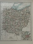
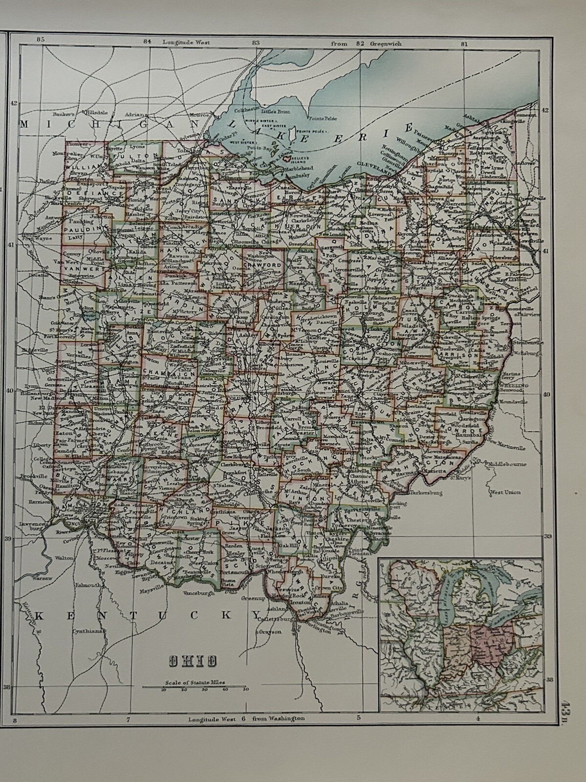
1897 Indiana & Ohio Original Antique Map by A & C Black

GBP 19.99
ApproximatelyRM 114.53
or Best Offer
Condition:
“The map is in good condition for its age.”
Oops! Looks like we're having trouble connecting to our server.
Refresh your browser window to try again.
Shipping:
GBP 12.00 (approx RM 68.75) Parcelforce Global Express.
Located in: Manchester, United Kingdom
Delivery:
Estimated between Thu, 31 Jul and Tue, 5 Aug to 91768
Returns:
60 days return. Seller pays for return shipping.
Coverage:
Read item description or contact seller for details. See all detailsSee all details on coverage
(Not eligible for eBay purchase protection programmes)
Seller assumes all responsibility for this listing.
eBay item number:257019542630
Item specifics
- Seller Notes
- “The map is in good condition for its age.”
- US State
- Indiana
- Date Range
- 1800-1899
- Antique
- Yes
- Type
- Political Map
- Format
- Atlas Map
- Year
- 1897
- Era
- 1800s
- Cartographer/Publisher
- Adam & Charles Black
- Original/Reproduction
- Antique Original
- Country/Region
- United States of America
Item description from the seller

Seller feedback (5,146)
- d***c (26)- Feedback left by buyer.Past monthVerified purchaseExcellent condition
- j***g (579)- Feedback left by buyer.Past monthVerified purchaseItem is great.
- a***s (5313)- Feedback left by buyer.Past monthVerified purchasePerfect
More to explore :
- Ohio Antique Original Antique North America Wall Maps,
- Ohio Antique Original Antique North America City Maps,
- Ohio Antique Original Antique North America River Maps,
- Ohio Antique Original Antique North America Railroad Maps,
- Ohio Antique Original Antique North America County Maps,
- Ohio Antique Original Antique North America Topographical Maps,
- Antique North American Maps & Atlases Ohio,
- Ohio County Map Antique North America Folding Maps,
- Ohio Antique North America County Maps,
- Ohio Antique North America Wall Maps
Seller feedback (5,146)
- d***c (26)- Feedback left by buyer.Past monthVerified purchaseExcellent condition
- j***g (579)- Feedback left by buyer.Past monthVerified purchaseItem is great.
- a***s (5313)- Feedback left by buyer.Past monthVerified purchasePerfect