Picture 1 of 10


Gallery
Picture 1 of 10


Have one to sell?
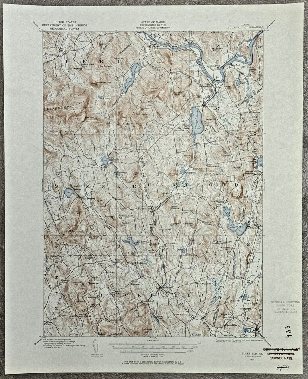
Buckfield ME USGS Topographic Geological Survey Quad Map 1958/1911 Canton Summer
US $24.99
ApproximatelyRM 105.82
Condition:
2 available
Oops! Looks like we're having trouble connecting to our server.
Refresh your browser window to try again.
Pickup:
Free local pickup from Westminster, Massachusetts, United States.
Shipping:
US $17.45 (approx RM 73.89) USPS Ground Advantage®.
Located in: Westminster, Massachusetts, United States
Delivery:
Estimated between Sat, 2 Aug and Fri, 8 Aug to 94104
Returns:
30 days return. Buyer pays for return shipping. If you use an eBay shipping label, it will be deducted from your refund amount.
Coverage:
Read item description or contact seller for details. See all detailsSee all details on coverage
(Not eligible for eBay purchase protection programmes)
Seller assumes all responsibility for this listing.
eBay item number:235547877597
Item specifics
- Date Range
- 1950-1959
- Type
- Geological Map
- US State
- Maine
- Format
- Sheet Map
- Year
- 1958
- Original/Reproduction
- Vintage Original
- City
- Buckfield
- Country/Region
- United States of America
Item description from the seller
Seller feedback (1,625)
- a***d (550)- Feedback left by buyer.Past monthVerified purchaseCame on time and it works, Thank you
- s***k (553)- Feedback left by buyer.Past monthVerified purchaseThis seller flung their wares into the universe with the confidence of a coyote on roller skates, delivering a package so swift and true it felt like the universe itself signed for it.
- i***e (496)- Feedback left by buyer.Past monthVerified purchaseLooks good, Works good!
More to explore :
- Antique Geological Maps,
- Antique Ordnance Survey Maps,
- Geological Map Antique Wall Maps,
- Geological Map Antique Atlas Maps,
- Geological Map Antique Folding Maps,
- Reproduction Antique Geological Maps,
- Geological Map Antique Europe Atlas Maps,
- Antique Europe Geological Maps,
- Antique Asia Geological Maps,
- Antique Original Geological Map Antique Folding Maps