Picture 1 of 6


Gallery
Picture 1 of 6


Have one to sell?
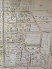
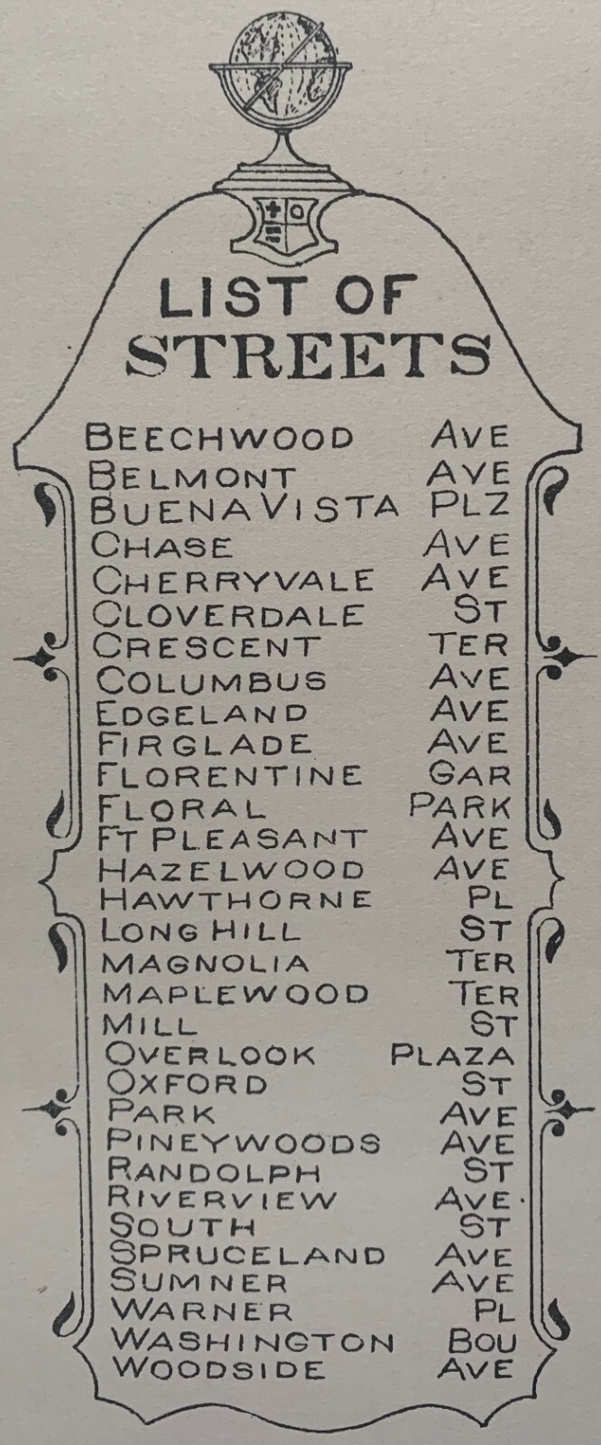
1899 SPRINGFIELD MA SOUTH END: MILL RIVER TO FOREST PARK & PARK AVE ATLAS MAP
US $49.95
ApproximatelyRM 211.28
Condition:
“24x36 high quality high resolution reproduction on 70 lb. thick stock paper, Other sizes available ”... Read moreabout condition
10 available
Oops! Looks like we're having trouble connecting to our server.
Refresh your browser window to try again.
Shipping:
US $21.15 (approx RM 89.46) USPS Ground Advantage®.
Located in: Floral Park, New York, United States
Delivery:
Estimated between Mon, 27 Oct and Mon, 3 Nov to 94104
Returns:
14 days return. Buyer pays for return shipping. If you use an eBay shipping label, it will be deducted from your refund amount.
Coverage:
Read item description or contact seller for details. See all detailsSee all details on coverage
(Not eligible for eBay purchase protection programmes)
Seller assumes all responsibility for this listing.
eBay item number:235213309986
Item specifics
- Seller Notes
- Date Range
- 1800-1899
- Type
- City Map
- US State
- Massachusetts
- Format
- Atlas Map
- Year
- 1899
- Cartographer/Publisher
- L.J. RICHARDS
- Original/Reproduction
- Vintage Reproduction
- Country/Region
- United States of America
Item description from the seller
Seller feedback (2,643)
- c***n (1602)- Feedback left by buyer.Past 6 monthsVerified purchaseI have totally enjoyed the entire purchasing process and a Big Great Reason for this is i had a very professional TRANSACTION with this Super Seller !!! No misunderstanding on any part of the buyer and/or the Seller !! Nice smooth clear transaction ,the experience with mschalfer was Great, right on Point and I will absolutely do more business with these Folks again ! Item was delivered promptly damage free,and is exactly the very same item i had ordered !!!! Great Business
- n***n (1303)- Feedback left by buyer.Past 6 monthsVerified purchaseAccurate description, good packaging, prompt delivery: Excellent!
- y***r (123)- Feedback left by buyer.Past 6 monthsVerified purchaseAlthough shipping took longer than expected, it was very well packaged and the item was very well described. It is a wonderful piece of our family history1913 PHILADELPHIA, PENNSYLVANIA TACONY CREEK PARK CEDAR GROVE MILLS ATLAS MAP (#233182583716)
More to explore :
- 1800-1899 Date Range River Map Antique Atlas Maps,
- River Map Antique Atlas Maps,
- 1800-1899 Date Range River Map Antique North America Atlas Maps,
- Contemporary River Map Antique Atlas Maps,
- Lithography River Map Antique Atlas Maps,
- 1800-1899 Date Range Topographical Map Antique South America Atlas Maps,
- Argentina 1800-1899 Date Range Antique South America Atlas Maps,
- World Atlas Antique South America Atlas Maps,
- Uruguay 1800-1899 Date Range Antique South America Atlas Maps,
- South Dakota 1800-1899 Date Range Antique North America Atlas Maps