Picture 1 of 6


Gallery
Picture 1 of 6


Have one to sell?
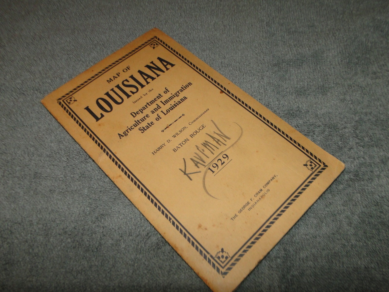
Rare 1929 Pocket RAND MCNALLY MAP Guide LOUISIANA STATE w/ FOLD OUT Map LOT BB

US $31.50
ApproximatelyRM 133.11
or Best Offer
Was US $35.00 (10% off)
Condition:
“GOOD”
Oops! Looks like we're having trouble connecting to our server.
Refresh your browser window to try again.
Shipping:
US $6.18 (approx RM 26.11) USPS Ground Advantage®.
Located in: Plum City, Wisconsin, United States
Delivery:
Estimated between Wed, 22 Oct and Mon, 27 Oct to 94104
Returns:
No returns accepted.
Coverage:
Read item description or contact seller for details. See all detailsSee all details on coverage
(Not eligible for eBay purchase protection programmes)
Seller assumes all responsibility for this listing.
eBay item number:226541587904
Item specifics
- Seller Notes
- “GOOD”
- Type
- Railroad Map
- US State
- Idaho, Louisiana, Montana
- Format
- Folding Map
- Year
- 1929
- Country/Region
- United States of America
Item description from the seller

Seller feedback (4,959)
- s***l (625)- Feedback left by buyer.Past monthVerified purchaseItem better than described. Quick shipping. Packaged very well. Recommended seller.
- n***s (126)- Feedback left by buyer.Past monthVerified purchasePackage was received quickly and well packed. Item(s) were as described. Easy transaction. Thank you!
- n***0 (576)- Feedback left by buyer.Past 6 monthsVerified purchaseA nice 1936 Standard Minneapolis St Paul map in good condition and the map was well packaged. The map was exactly as described and the map arrived right on schedule. I would buy again from ANNEJEST. The map was of good quality. The seller gave good service and good value.1932 Standard Oil GAS Station ROAD Map of MINNEAPOLIS ST PAUL MN LOT S-46 (#376090349525)
More to explore :
- Rand McNally & Co. City Map Antique Folding Maps,
- Rand McNally & Co. Antique Folding Maps,
- Rand McNally & Co. Antique Original Antique Folding Maps,
- Rand McNally & Co. Political Map Antique Atlas Maps,
- Rand McNally & Co. Antique North America Folding Maps,
- Rand McNally & Co. 1920-1929 Date Range Antique Atlas Maps,
- Rand McNally & Co. Antique Topographical Maps,
- Rand McNally & Co. Railroad Map Antique North America Atlas Maps,
- Rand McNally & Co. Antique European Maps & Atlases,
- Rand McNally & Co. Topographical Map Antique North America Wall Maps
Seller feedback (4,959)
- s***l (625)- Feedback left by buyer.Past monthVerified purchaseItem better than described. Quick shipping. Packaged very well. Recommended seller.
- n***s (126)- Feedback left by buyer.Past monthVerified purchasePackage was received quickly and well packed. Item(s) were as described. Easy transaction. Thank you!
- n***0 (576)- Feedback left by buyer.Past 6 monthsVerified purchaseA nice 1936 Standard Minneapolis St Paul map in good condition and the map was well packaged. The map was exactly as described and the map arrived right on schedule. I would buy again from ANNEJEST. The map was of good quality. The seller gave good service and good value.1932 Standard Oil GAS Station ROAD Map of MINNEAPOLIS ST PAUL MN LOT S-46 (#376090349525)