Picture 1 of 11


Gallery
Picture 1 of 11


Have one to sell?
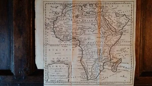
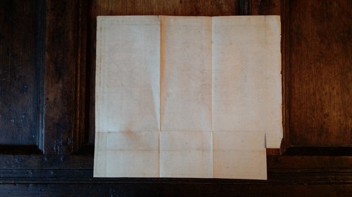
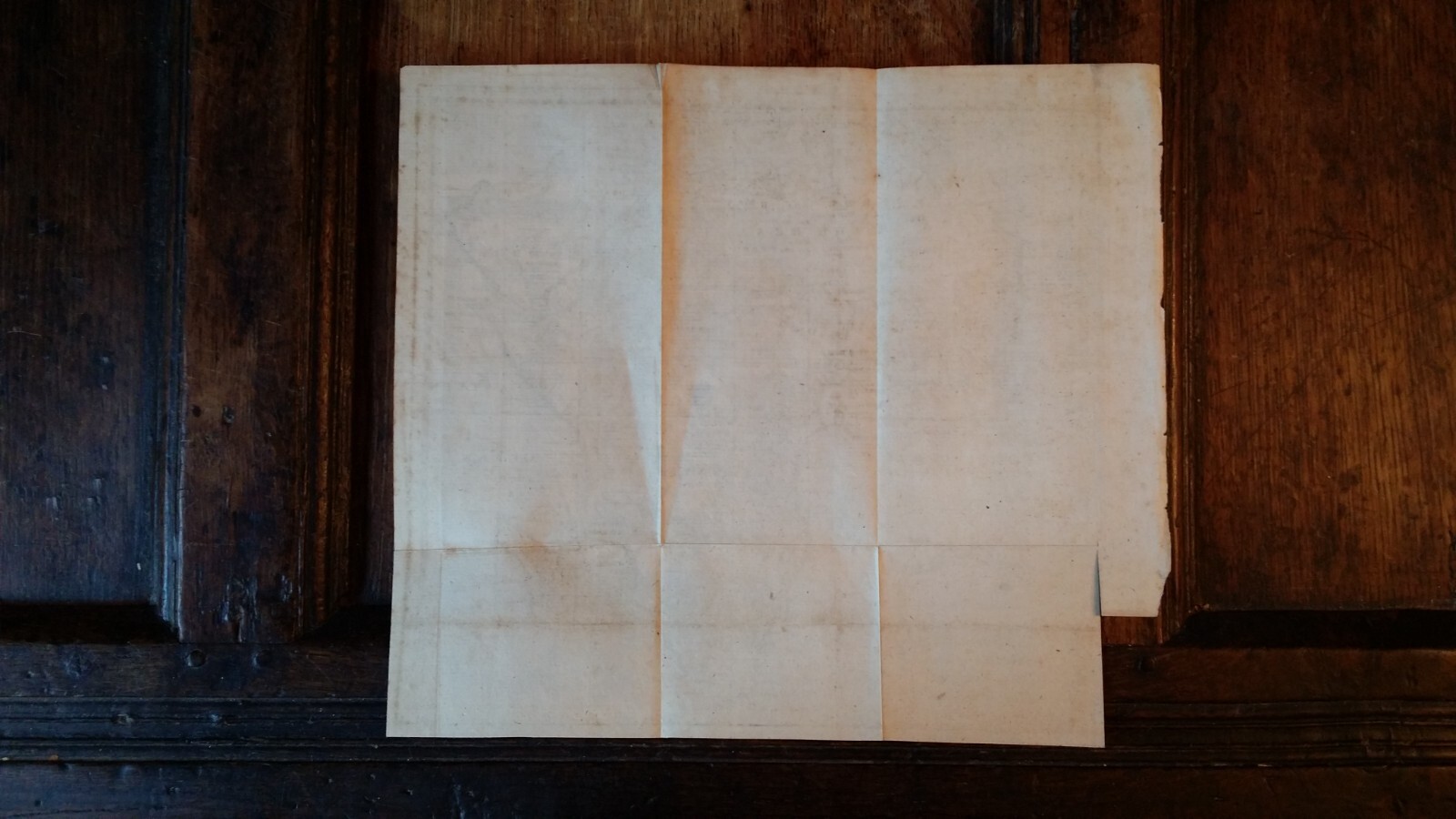
1748 ANTIQUE COPPER PLATE MAP AFRICA - THOMAS JEFFERYS - TRIBAL TRIBES

GBP 45.00
ApproximatelyRM 257.27
Condition:
“Please see description for detailed condition”
Oops! Looks like we're having trouble connecting to our server.
Refresh your browser window to try again.
Shipping:
Located in: Winchester, United Kingdom
Delivery:
Varies
Returns:
No returns accepted.
Coverage:
Read item description or contact seller for details. See all detailsSee all details on coverage
(Not eligible for eBay purchase protection programmes)
Seller assumes all responsibility for this listing.
eBay item number:204862288214
Item specifics
- Seller Notes
- “Please see description for detailed condition”
- Date Range
- 1700-1799
- Antique
- Yes
- Type
- Political Map
- Printing Technique
- Copper Plate
- Format
- Folding Map
- Year
- 1748
- Era
- 1700s
- Original/Reproduction
- Antique Original
- Cartographer/Publisher
- Thomas Jefferys
- Country/Region
- Africa
Item description from the seller

Popular categories from this store
Seller feedback (3,111)
- 1***d (3011)- Feedback left by buyer.Past monthVerified purchaseSpot on!
- eBay automated Feedback- Feedback left by buyer.Past monthOrder completed successfully – tracked and on time
- 1***s (135)- Feedback left by buyer.Past monthVerified purchaseGreat book, quality as described. Very well wrapped and packaged. A nice addition to my collection.
More to explore :
- Copper Plate Antique Africa Folding Maps,
- Copper Plate Antique Africa Atlas Maps,
- Copper Plate Antique Africa County Maps,
- Copper Plate Antique Africa Sheet Maps,
- Copper Plate Antique Original Antique Africa County Maps,
- Tunisian Copper Plate Antique Africa Maps & Atlases,
- Guinea Copper Plate Antique Africa Folding Maps,
- Thomas Jefferys Antique Maps, Atlases & Globes,
- Copper Plate 1700-1799 Date Range Antique Africa County Maps,
- Copper Plate Antique City Maps
Popular categories from this store
Seller feedback (3,111)
- 1***d (3011)- Feedback left by buyer.Past monthVerified purchaseSpot on!
- eBay automated Feedback- Feedback left by buyer.Past monthOrder completed successfully – tracked and on time
- 1***s (135)- Feedback left by buyer.Past monthVerified purchaseGreat book, quality as described. Very well wrapped and packaged. A nice addition to my collection.