Picture 1 of 5


Gallery
Picture 1 of 5


Have one to sell?
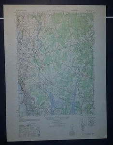
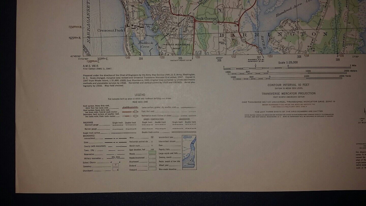
1940's Army topographic map East Providence RI Sheet 6767 IV SE

GBP 23.82
ApproximatelyRM 135.60
Condition:
Oops! Looks like we're having trouble connecting to our server.
Refresh your browser window to try again.
Shipping:
Does not ship to United States.
Located in: Slingerlands, New York, United States
Delivery:
Varies
Returns:
30 days return. Buyer pays for return shipping. If you use an eBay shipping label, it will be deducted from your refund amount.
Coverage:
Read item description or contact seller for details. See all detailsSee all details on coverage
(Not eligible for eBay purchase protection programmes)
Seller assumes all responsibility for this listing.
eBay item number:204520274046
Item specifics
- Brand
- Unbranded
- MPN
- Does not apply
Item description from the seller

Popular categories from this store
Seller feedback (892)
- j***i (1202)- Feedback left by buyer.Past monthVerified purchaseLove the map, thanks.
- o***b (217)- Feedback left by buyer.Past monthVerified purchasePerfect transaction, thank you.
- h***p (494)- Feedback left by buyer.Past monthVerified purchaseJust as pictured
More to explore :
- Topographical Map Antique Sheet Maps,
- 1940-1949 Date Range Sheet Map Topographical Map Antique Maps, Atlases & Globes,
- Lithography Topographical Map Antique Sheet Maps,
- CT, MA, ME, NH, RI, VT Topographical Map Antique North America Sheet Maps,
- 1940-1949 Date Range Topographical Map Antique North America Sheet Maps,
- Copper Plate Topographical Map Antique Sheet Maps,
- Colorado Topographical Map Antique North America Sheet Maps,
- Illinois Topographical Map Antique North America Sheet Maps,
- Texas Topographical Map Antique North America Sheet Maps,
- New Hampshire Topographical Map Antique North America Sheet Maps
Popular categories from this store
Seller feedback (892)
- j***i (1202)- Feedback left by buyer.Past monthVerified purchaseLove the map, thanks.
- o***b (217)- Feedback left by buyer.Past monthVerified purchasePerfect transaction, thank you.
- h***p (494)- Feedback left by buyer.Past monthVerified purchaseJust as pictured