Picture 1 of 21


Gallery
Picture 1 of 21


Have one to sell?
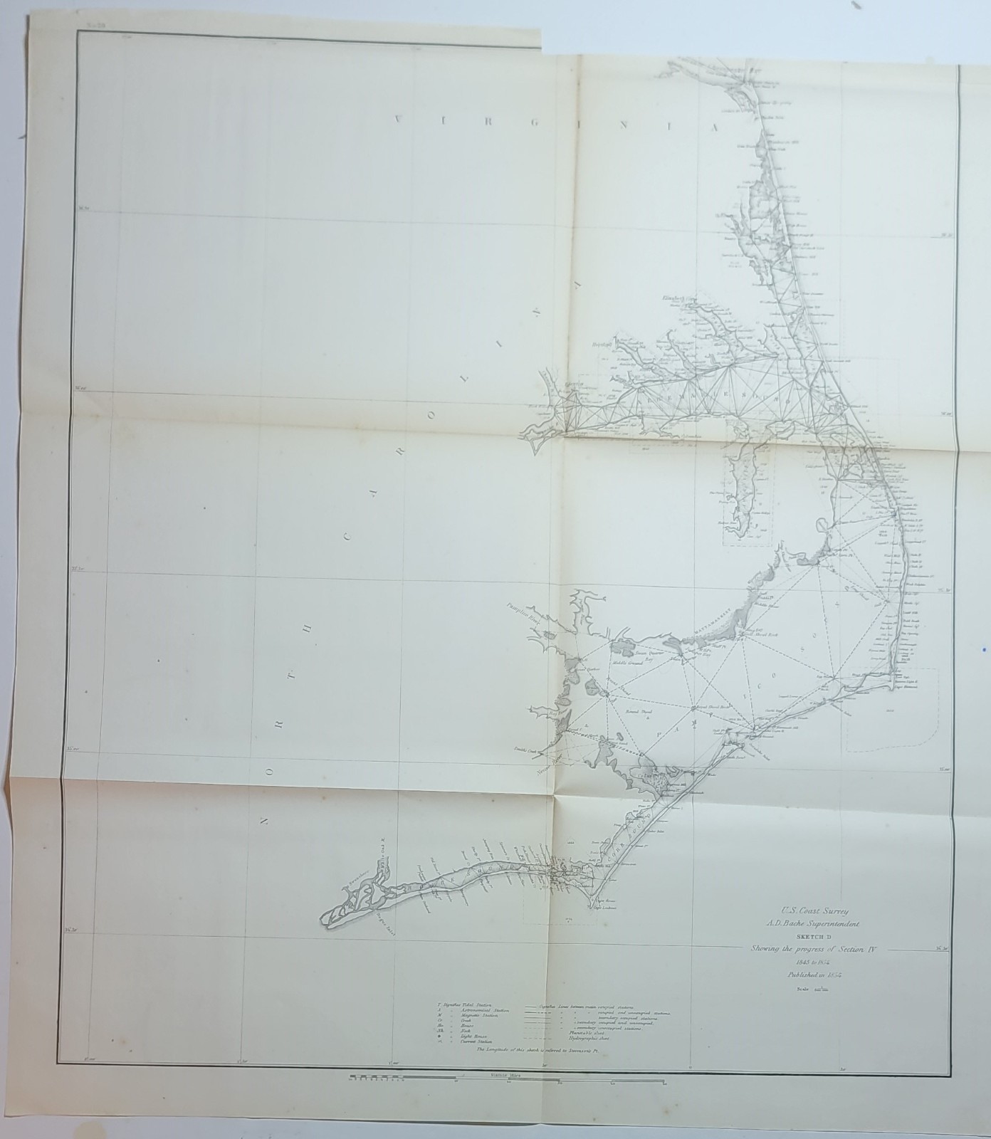
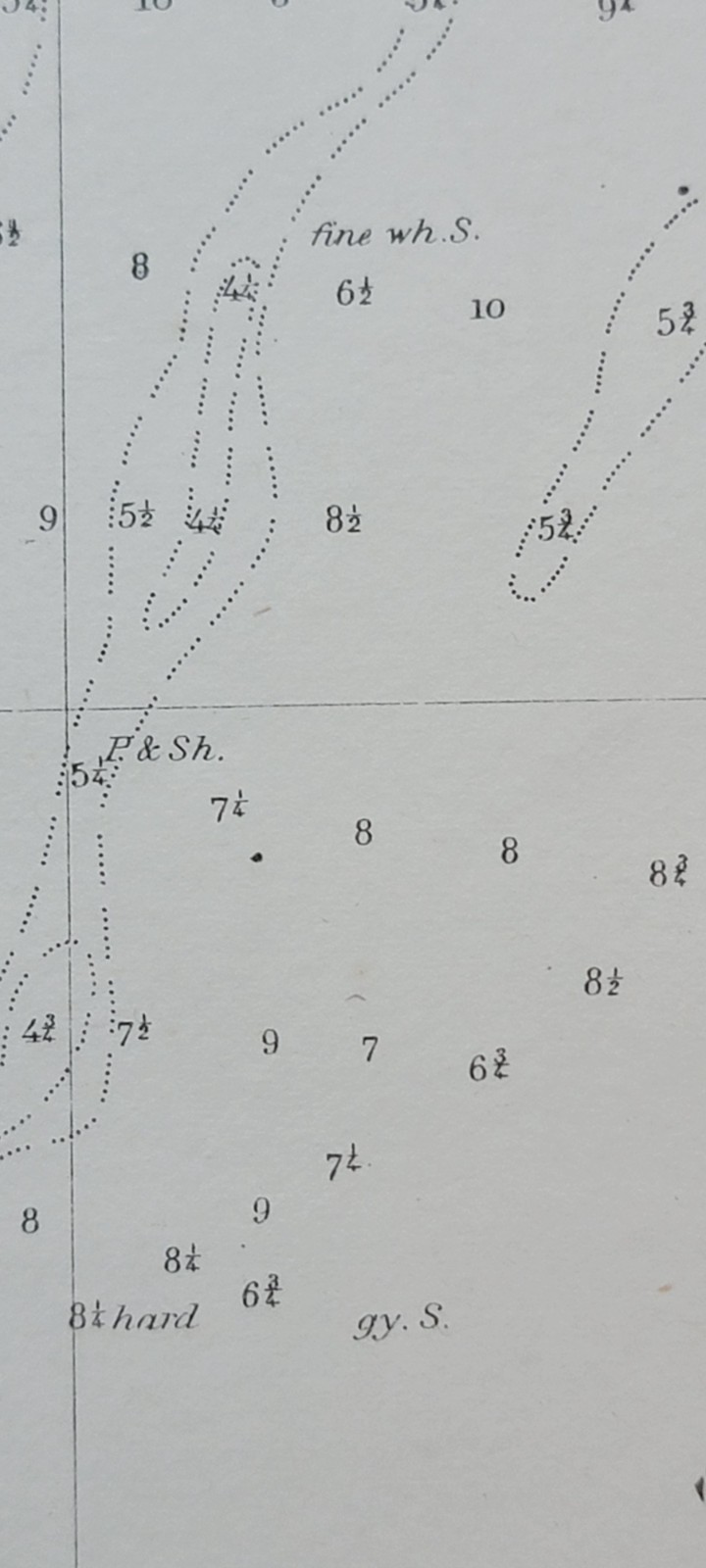
Two 1854 US Coast Survey charts maps Cape Fear Wimble Shoals North Carolina
US $55.00
ApproximatelyRM 232.02
Condition:
“#20: Folding B&W chart in good antique condition, printed on sturdy, mildly age-toned paper, ”... Read moreabout condition
Oops! Looks like we're having trouble connecting to our server.
Refresh your browser window to try again.
Shipping:
Free USPS Ground Advantage®.
Located in: Lafayette, Colorado, United States
Delivery:
Estimated between Sat, 30 Aug and Sat, 6 Sep to 94104
Returns:
No returns accepted.
Coverage:
Read item description or contact seller for details. See all detailsSee all details on coverage
(Not eligible for eBay purchase protection programmes)
Seller assumes all responsibility for this listing.
eBay item number:197584593411
Item specifics
- Seller Notes
- Date Range
- 1800-1899
- Type
- Railroad Map
- Printing Technique
- Lithography
- Format
- Folding Map
- US State
- New Jersey, Virginia, North Carolina
- Year
- 1854
- Original/Reproduction
- Antique Original
- City
- New York
- Country/Region
- United States of America
- Country/Region of Manufacture
- United States
Item description from the seller
Seller feedback (74)
- a***a (26)- Feedback left by buyer.Past monthVerified purchaseGreat packaging, came on time, exactly as stated. Thank you.
- l***e (62)- Feedback left by buyer.Past monthVerified purchaseLove it. Item as described, well packaged and fast shipping
- p***p (364)- Feedback left by buyer.Past monthVerified purchaseAs advertised!
More to explore :
- Antique North America Ordnance Survey Maps,
- North Carolina Antique North America Maps & Atlases,
- Antique Ordnance Survey Maps,
- North Carolina Antique North America County Maps,
- North Carolina Antique North America Railroad Maps,
- North Carolina Lithography Antique North America Atlas Maps,
- North Carolina Contemporary Antique North American Maps & Atlases,
- US Coast Guard Antique Maritime Navigational Charts,
- South Carolina Antique North America Maps & Atlases,
- North Carolina Antique Original Antique North America Sheet Maps