Picture 1 of 6


Gallery
Picture 1 of 6


Have one to sell?
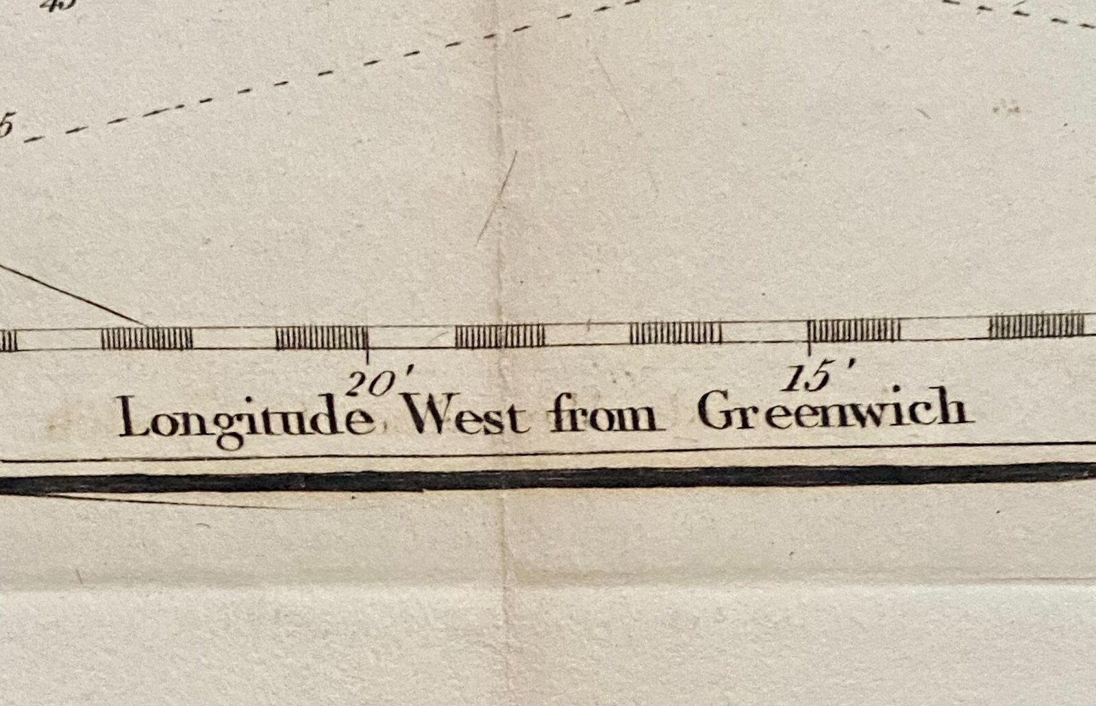
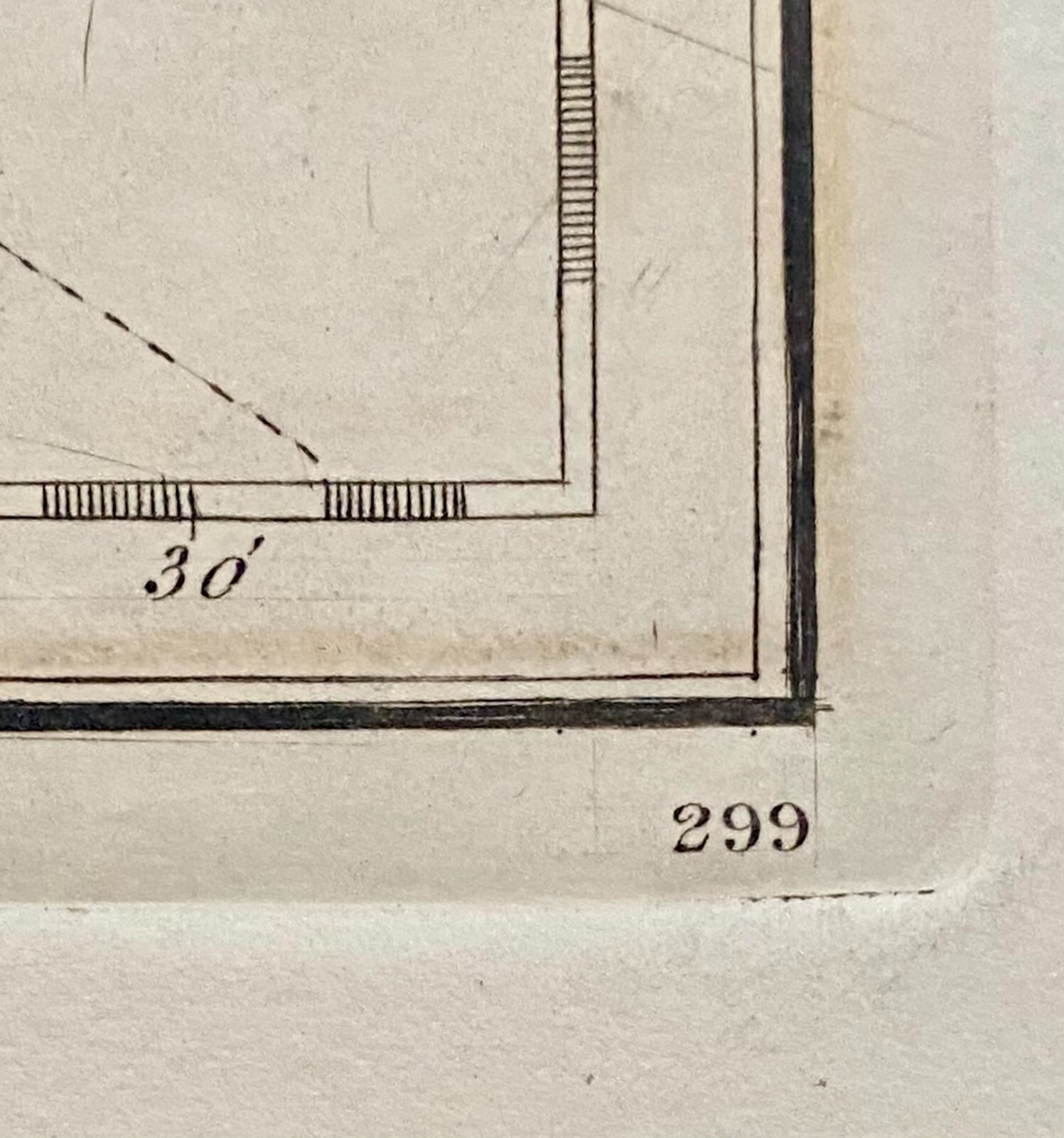
Original Map Part of Coast of Newfoundland By Michael Lane 1773 Updated 1809
US $250.00
ApproximatelyRM 1,057.13
or Best Offer
Condition:
“In My Opinion the map is in Good to Very Good Condition, but please see photo to form your own ”... Read moreabout condition
Oops! Looks like we're having trouble connecting to our server.
Refresh your browser window to try again.
Pickup:
Free local pickup from Lambertville, New Jersey, United States.
Shipping:
US $20.58 (approx RM 87.02) USPS Priority Mail®.
Located in: Lambertville, New Jersey, United States
Delivery:
Estimated between Thu, 14 Aug and Wed, 20 Aug to 94104
Returns:
No returns accepted.
Coverage:
Read item description or contact seller for details. See all detailsSee all details on coverage
(Not eligible for eBay purchase protection programmes)
Seller assumes all responsibility for this listing.
eBay item number:197230219466
Item specifics
- Seller Notes
- Date Range
- 1800-1899
- Type
- Nautical Map
- US State
- Newfoundland
- Format
- Sheet Map
- Canadian Province
- Newfoundland & Labrador
- Year
- 1809
- Original/Reproduction
- Antique Original
- Cartographer/Publisher
- Michael Lane
- City
- Point Lance to Cape Spear
- Country/Region
- Canada
Item description from the seller
Seller feedback (121)
- j***- (0)- Feedback left by buyer.Past monthVerified purchaseItem arrived today, exactly as described and well packaged. Overall, a very smooth transaction start to finish!
- 7***4 (4415)- Feedback left by buyer.Past monthVerified purchaseFantastic item!👌 Even better than described on ebay page at a great deal. Thank you for taking my offer & for a perfect 5 Stars ☆☆☆☆☆ smooth & fast transaction & speedy shipment. Packed with care & arrived safely. A☆☆☆☆☆☆☆☆☆☆👌
- 5***5 (558)- Feedback left by buyer.Past monthVerified purchaseExtremely well packaged, nice item, reasonable shipping
More to explore :
- Newfoundland & Labrador Antique Original Antique North America Maps & Atlases,
- Newfoundland & Labrador Antique Original Antique North America Atlas Maps,
- Newfoundland & Labrador Canada Antique Original Antique North American Maps & Atlases,
- Newfoundland & Labrador Aguascalientes Antique Original Antique North American Maps & Atlases,
- Newfoundland & Labrador Campeche Antique Original Antique North American Maps & Atlases,
- Newfoundland & Labrador Antique North America Atlas Maps,
- Newfoundland & Labrador Antique North American Maps & Atlases,
- Newfoundland & Labrador California American Antique Maps & Atlases,
- Newfoundland & Labrador United States of America Antique Original Antique North America Maps & Atlases,
- Newfoundland & Labrador Campeche Antique North America Maps & Atlases