Picture 1 of 12


Gallery
Picture 1 of 12


Have one to sell?
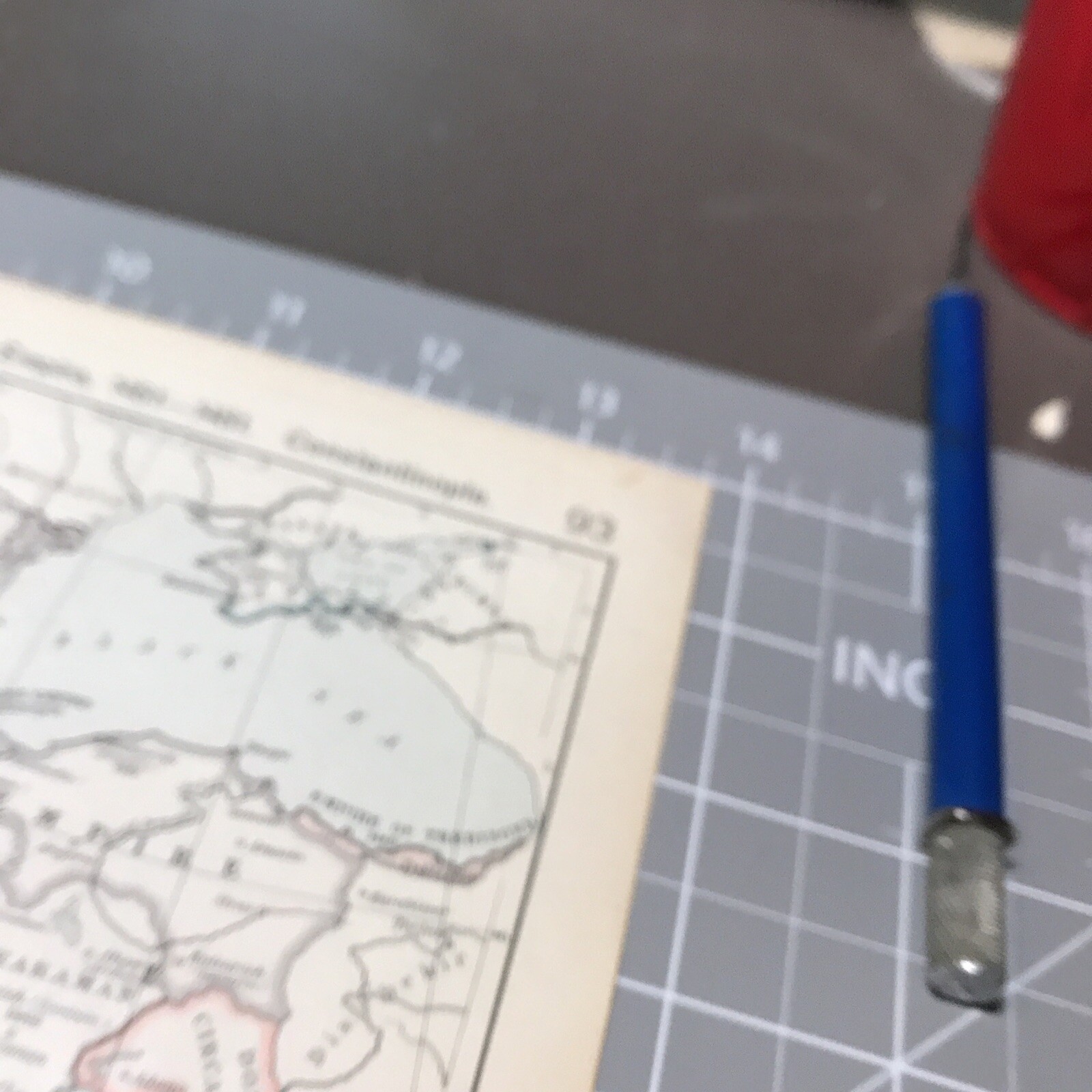
Ecclesiastical Western Europe Middle Ages 1910's Antique Map Wall Art

US $15.95
ApproximatelyRM 67.09
Condition:
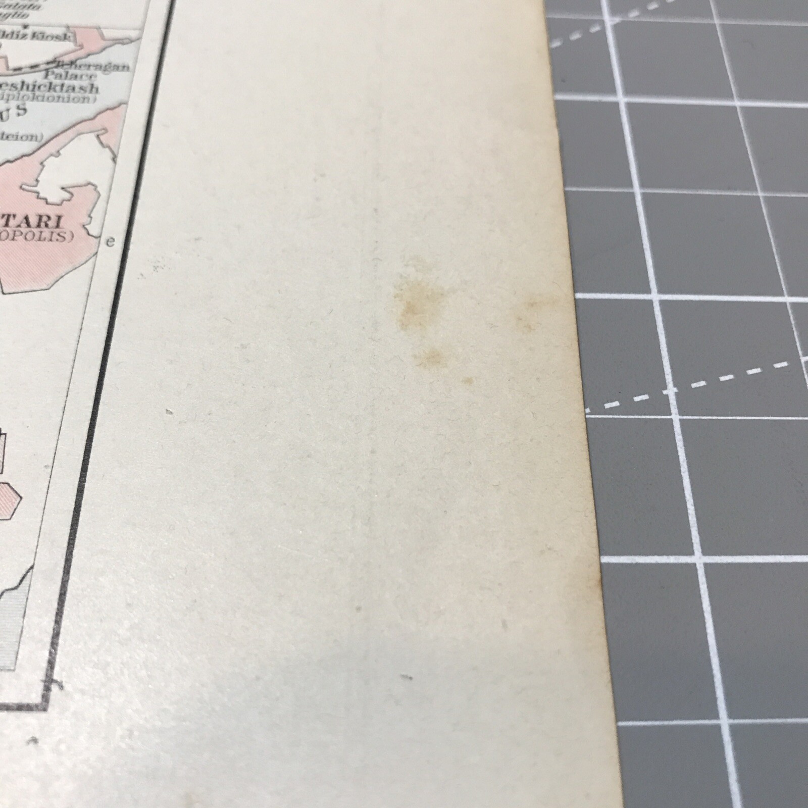
“Tear left and right top by page #s. Folded Map. Glue strip mounting on Back . All Book Prints are ”... Read moreabout condition
Oops! Looks like we're having trouble connecting to our server.
Refresh your browser window to try again.
Shipping:
US $4.99 (approx RM 20.99) USPS Ground Advantage®.
Located in: Arlington, Texas, United States
Delivery:
Estimated between Tue, 7 Oct and Sat, 11 Oct to 94104
Returns:
30 days return. Buyer pays for return shipping. If you use an eBay shipping label, it will be deducted from your refund amount.
Coverage:
Read item description or contact seller for details. See all detailsSee all details on coverage
(Not eligible for eBay purchase protection programmes)
Seller assumes all responsibility for this listing.
eBay item number:187180905612
Item specifics
- Seller Notes
- Format
- Atlas Map
- Country printed
- Germany
- Historical year represented
- 1910
- Date Range
- 1910-1919
- Original/Reproduction
- Antique Original
Item description from the seller

Seller feedback (452)
- Automatische Bewertung von eBay- Feedback left by buyer.Past monthBestellung pünktlich und problemlos geliefert
- Automatische Bewertung von eBay- Feedback left by buyer.Past monthBestellung pünktlich und problemlos geliefert
- Automatische Bewertung von eBay- Feedback left by buyer.Past monthBestellung pünktlich und problemlos geliefert
This is a private listing and your identity will not be disclosed to anyone except the seller.
More to explore :
- Antique Europe Wall Maps,
- Antique Original Antique Europe Wall Maps,
- Contemporary Antique Europe Wall Maps,
- Antique Reproduction Antique Europe Wall Maps,
- Vintage Reproduction Antique Europe Wall Maps,
- 1910-1919 Date Range Antique Europe Physical Maps,
- Antique Original 1910-1919 Date Range Antique Europe Topographical Maps,
- Belgium 1910-1919 Date Range Antique Europe Sheet Maps,
- Lithography 1910-1919 Date Range Antique Europe City Maps,
- Holland 1910-1919 Date Range Antique Europe City Maps
Seller feedback (452)
- Automatische Bewertung von eBay- Feedback left by buyer.Past monthBestellung pünktlich und problemlos geliefert
- Automatische Bewertung von eBay- Feedback left by buyer.Past monthBestellung pünktlich und problemlos geliefert
- Automatische Bewertung von eBay- Feedback left by buyer.Past monthBestellung pünktlich und problemlos geliefert