
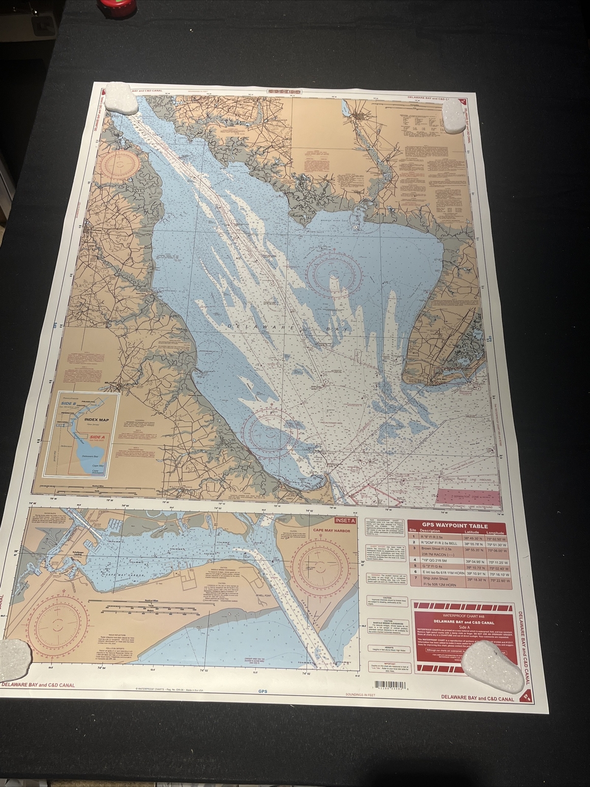
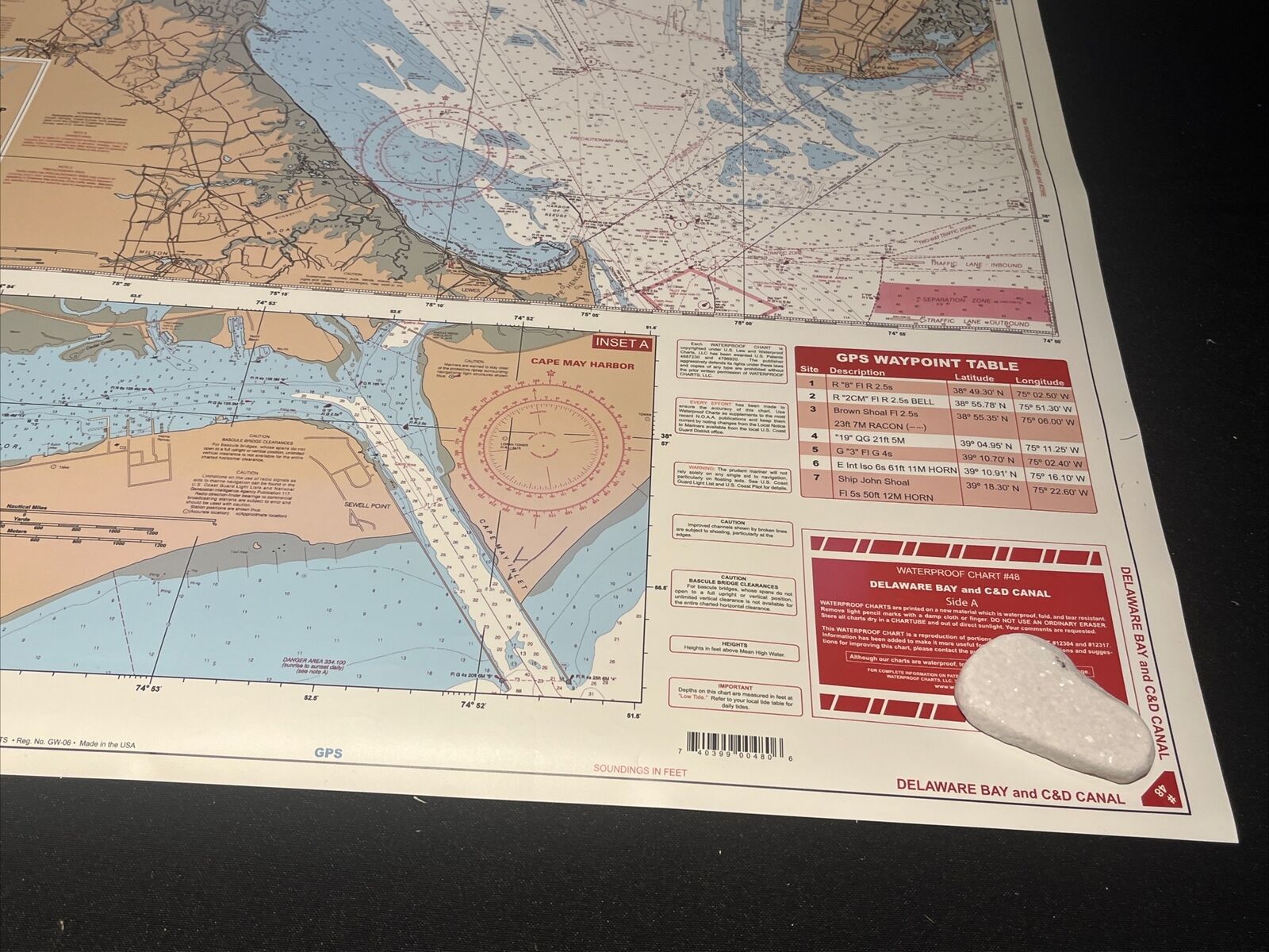
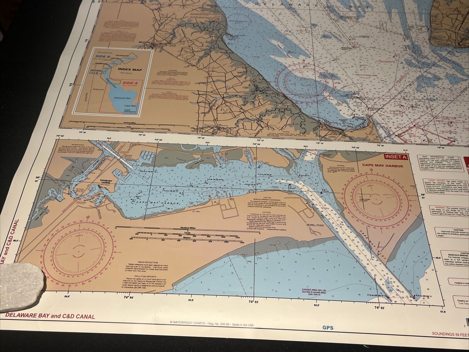
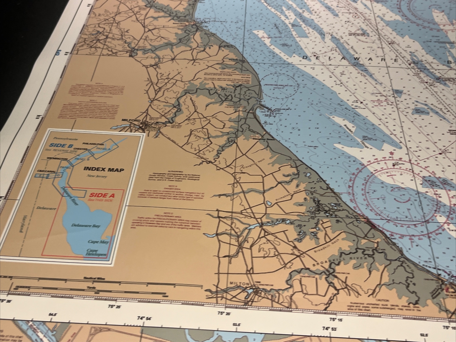
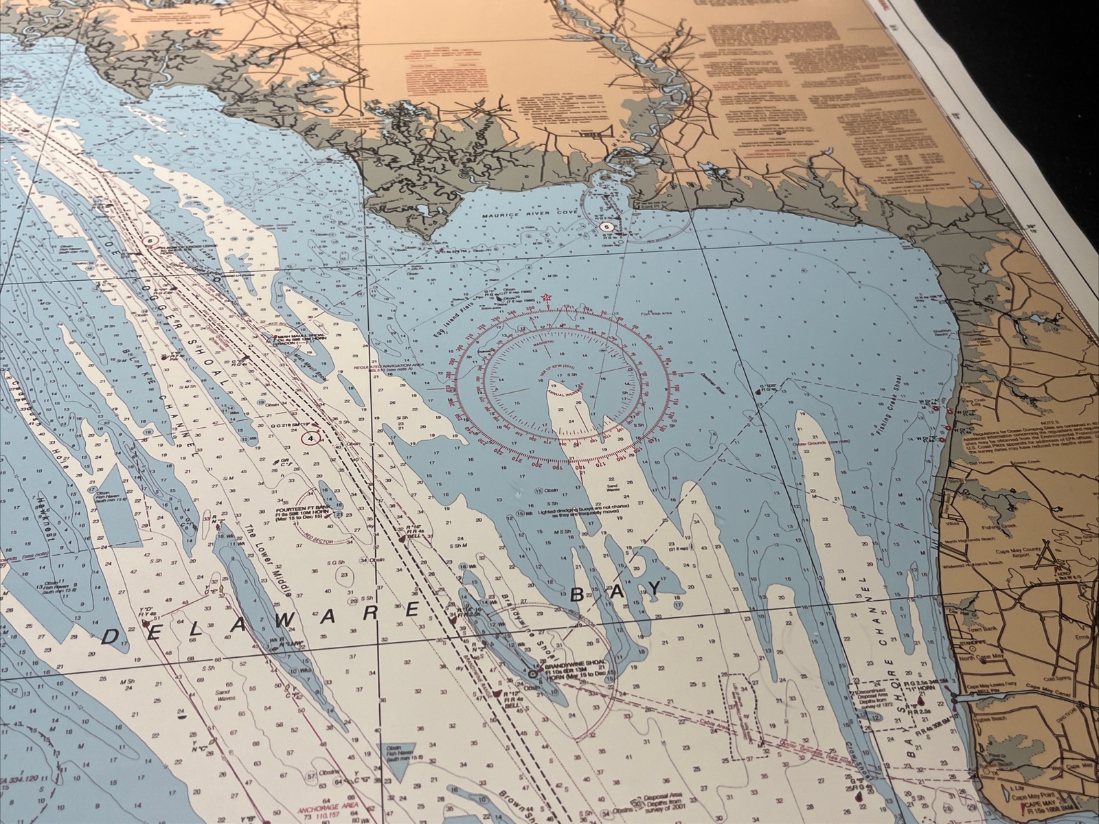
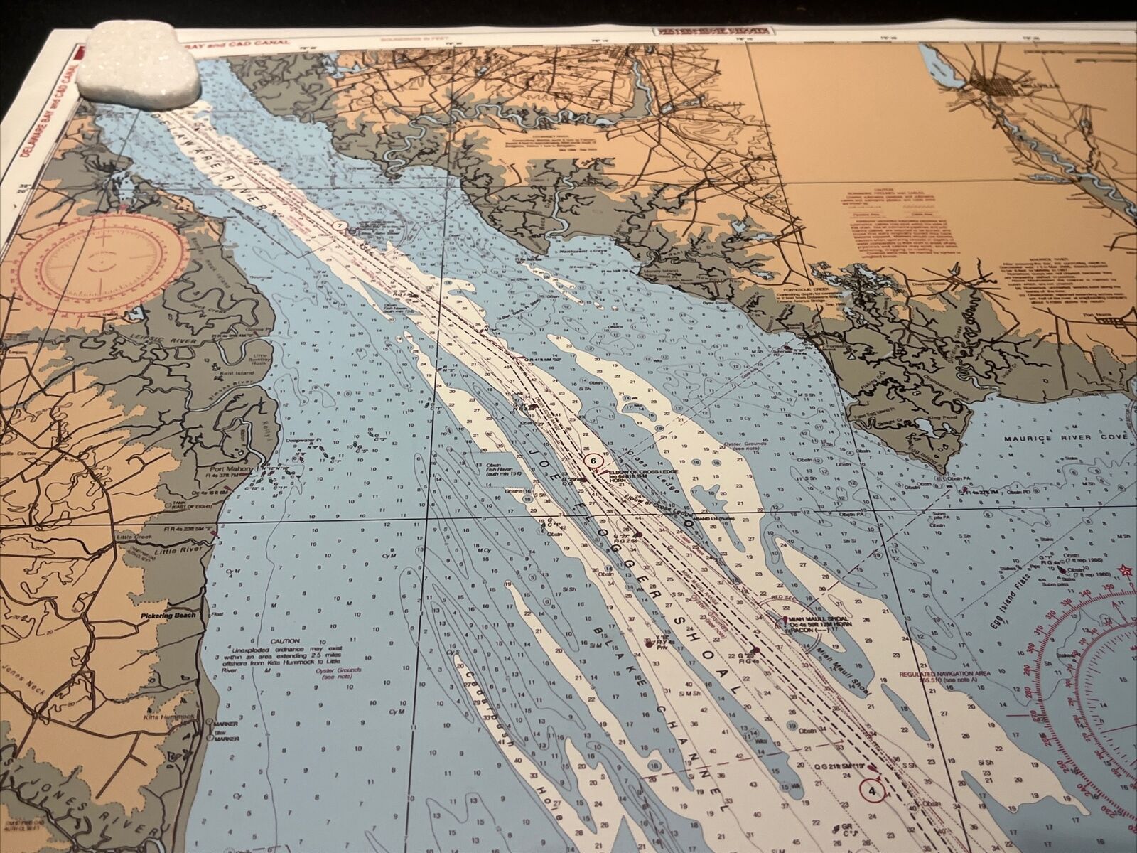
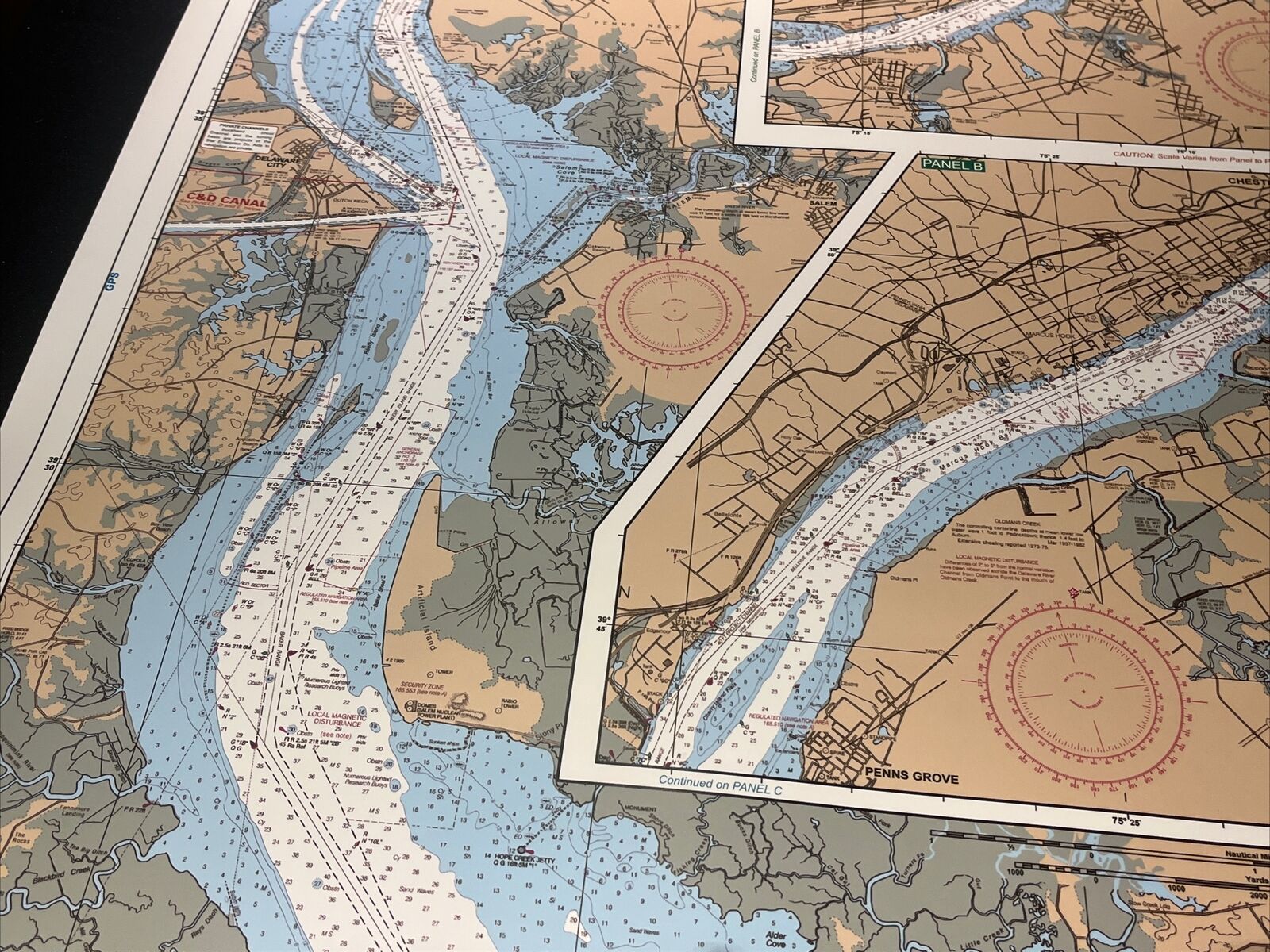
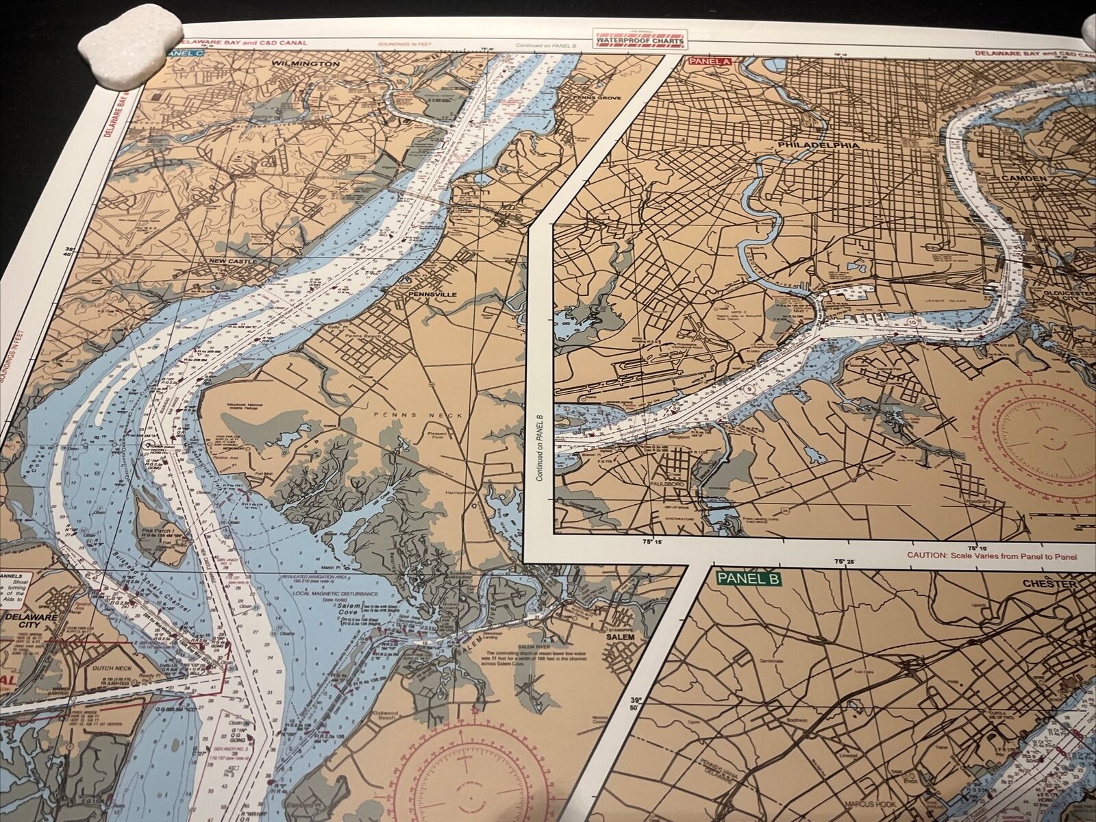
c2008 DELAWARE BAY And C&D CANAL Map Standard Navigation Waterproof Charts
US $28.00US $28.00
Jul 28, 04:20Jul 28, 04:20
Picture 1 of 16


Gallery
Picture 1 of 16


Have one to sell?
c2008 DELAWARE BAY And C&D CANAL Map Standard Navigation Waterproof Charts

US $28.00
ApproximatelyRM 118.36
Best offer accepted
or Best Offer
Condition:
Oops! Looks like we're having trouble connecting to our server.
Refresh your browser window to try again.
Shipping:
US $10.36 (approx RM 43.79) USPS Ground Advantage®.
Located in: Carlsbad, California, United States
Delivery:
Estimated between Sat, 9 Aug and Tue, 12 Aug to 94104
Returns:
30 days return. Seller pays for return shipping.
Coverage:
Read item description or contact seller for details. See all detailsSee all details on coverage
(Not eligible for eBay purchase protection programmes)
Shop with confidence
Seller assumes all responsibility for this listing.
eBay item number:177238265044
Item description from the seller

Seller feedback (2,088)
This item (1)
All items (2,088)
- m***a (102)- Feedback left by buyer.Past monthVerified purchaseGreat communication. Super fast shipping
- 8***6 (241)- Feedback left by buyer.Past monthVerified purchaseAWESOMENESS! Thank you! I surely APPRECIATE it and YOU! BLESSINGS!
- 3***3 (262)- Feedback left by buyer.Past monthVerified purchaseShipping was on time and the item was well packaged. The item as as described and good value.
- 1***u (5837)- Feedback left by buyer.Past monthVerified purchaseGREAT
More to explore :
- Antique Maritime Navigational Charts,
- Delaware County Map Antique North America Atlas Maps,
- Antique North American Maps & Atlases Delaware,
- Delaware Antique North America Folding Maps,
- Delaware Antique North America Sheet Maps,
- WWII Antique Maritime Navigational Charts,
- Canada Antique Maritime Navigational Charts,
- Delaware Contemporary Antique North America Maps & Atlases,
- United States Antique Maritime Navigational Charts,
- Antique Original Antique Maritime Navigational Charts
Seller feedback (2,088)
This item (1)
All items (2,088)
- m***a (102)- Feedback left by buyer.Past monthVerified purchaseGreat communication. Super fast shipping
- 8***6 (241)- Feedback left by buyer.Past monthVerified purchaseAWESOMENESS! Thank you! I surely APPRECIATE it and YOU! BLESSINGS!
- 3***3 (262)- Feedback left by buyer.Past monthVerified purchaseShipping was on time and the item was well packaged. The item as as described and good value.
- 1***u (5837)- Feedback left by buyer.Past monthVerified purchaseGREAT