Picture 1 of 5


Gallery
Picture 1 of 5


Have one to sell?
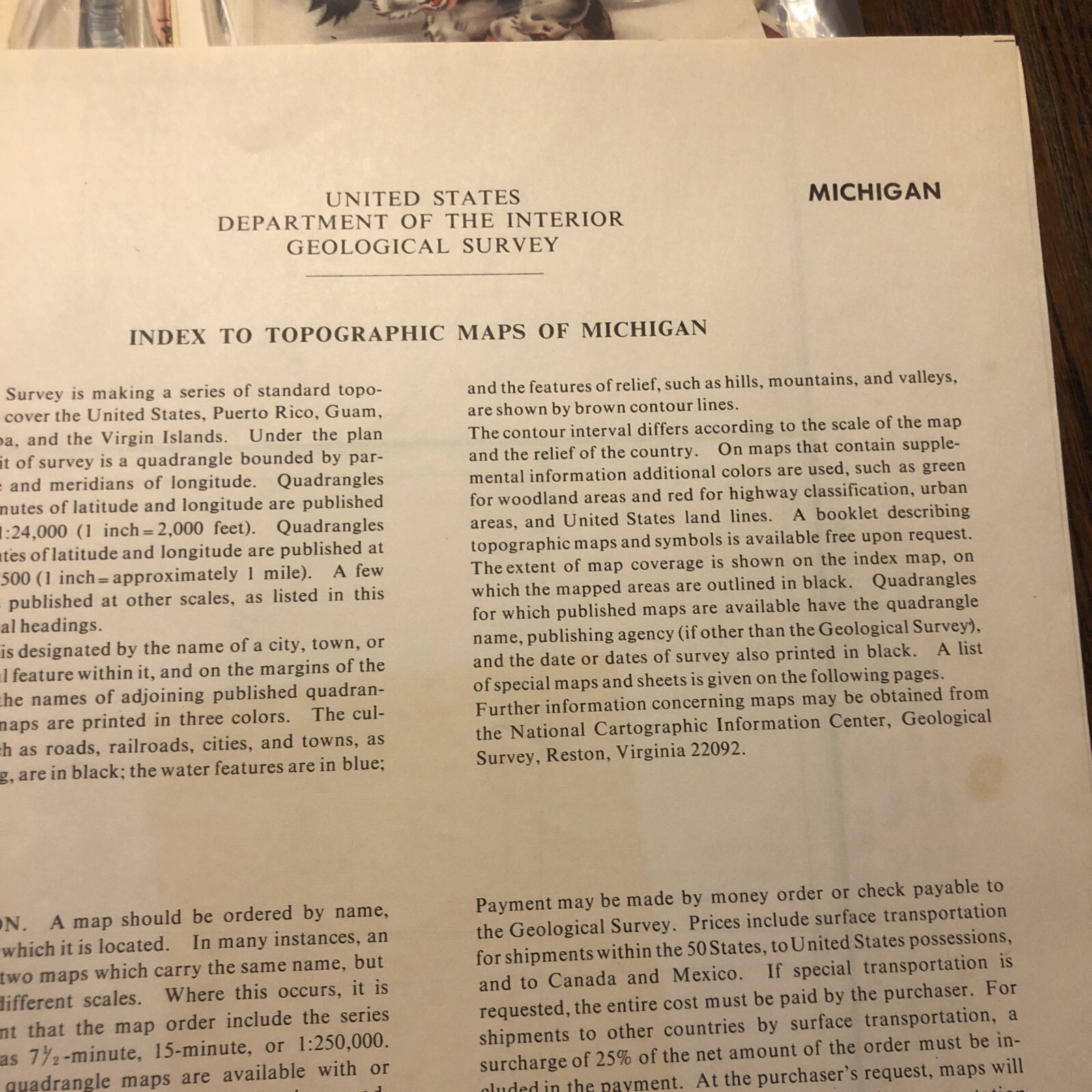
1976 USGS Topographic Map Of Michigan Upper & Lower Peninsulas
US $12.00
ApproximatelyRM 50.81
or Best Offer
Condition:
Oops! Looks like we're having trouble connecting to our server.
Refresh your browser window to try again.
Shipping:
US $6.00 (approx RM 25.41) USPS First Class®.
Located in: Armada, Michigan, United States
Delivery:
Estimated between Mon, 4 Aug and Mon, 11 Aug to 94104
Returns:
No returns accepted.
Coverage:
Read item description or contact seller for details. See all detailsSee all details on coverage
(Not eligible for eBay purchase protection programmes)
Seller assumes all responsibility for this listing.
eBay item number:165229298890
Item specifics
- Date Range
- 1970-1979
- Type
- Topographical Map
- US State
- Michigan
- Format
- Folding Map
- Printing Technique
- Lithography
- Year
- 1976
- Original/Reproduction
- Vintage Original
- Cartographer/Publisher
- US Geological Survey
- City
- All Of State
- Country/Region
- Michigan
Item description from the seller
Seller feedback (1,451)
- 3***r (4770)- Feedback left by buyer.Past monthVerified purchaseArrived in perfect condition! 👍🏻
- a***3 (381)- Feedback left by buyer.Past monthVerified purchaseItem arrived promptly and in great condition Thanks A +++ Seller
- f***z (235)- Feedback left by buyer.Past 6 monthsVerified purchaseGreat deal as it should be
More to explore :
- Michigan Antique North America Topographical Maps,
- Michigan Topographical Map Antique North America Sheet Maps,
- Michigan Topographical Map Antique North America Folding Maps,
- Michigan Antique Original Antique North America Topographical Maps,
- Antique Topographical Maps,
- Topographical Map Antique Sheet Maps,
- Topographical Map Antique Wall Maps,
- Michigan 1900-1909 Date Range Antique North America Topographical Maps,
- Topographical Map Antique Europe Atlas Maps,
- Antique North America Topographical Maps