Picture 1 of 5


Gallery
Picture 1 of 5


Have one to sell?
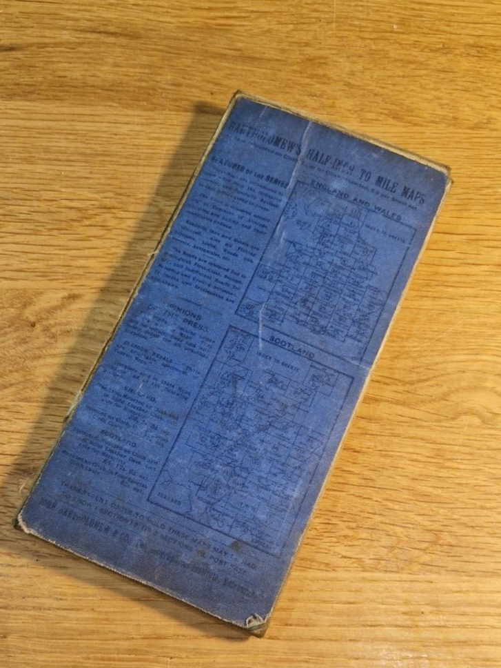
Bartholomews Ordnance Survey 1/2" #13 Early Undated Cloth Map Nottingham Derby

GBP 4.06
ApproximatelyRM 22.95
or Best Offer
Condition:
Oops! Looks like we're having trouble connecting to our server.
Refresh your browser window to try again.
Shipping:
Located in: Nottingham, United Kingdom
Delivery:
Varies
Returns:
No returns accepted.
Coverage:
Read item description or contact seller for details. See all detailsSee all details on coverage
(Not eligible for eBay purchase protection programmes)
Seller assumes all responsibility for this listing.
eBay item number:156916616782

All net proceeds will support Emmanuel House Support Centre
- Official eBay for Charity listing. Learn more
- This sale benefits a verified non-profit partner.
Item specifics
- Antique
- Yes
- Date Range
- 1890-1940
- Type
- Ordnance Survey Map
- Format
- Sheet Map
- Cartographer/Publisher
- John Bartholomew
- Original/Reproduction
- Vintage Original
- Dimensions
- 29.5" x 21"
- City
- Nottingham Derby Buxton Chesterfield Melton Mowbray Loughborough
- Country/Region
- England
- County
- Nottinghamshire Derbyshire Staffordshire
Item description from the seller

Seller feedback (550)
- eBay 自動留下信用評價- Feedback left by buyer.Past month訂單成功完成 — 物品享追蹤服務且準時送達
- eBay 自動留下信用評價- Feedback left by buyer.Past month訂單成功完成 — 物品享追蹤服務且準時送達
- eBay 自動留下信用評價- Feedback left by buyer.Past 6 months訂單成功完成 — 物品享追蹤服務且準時送達
More to explore :
- Antique Ordnance Survey Maps,
- Antique Europe Ordnance Survey Maps,
- Vintage Original Antique Ordnance Survey Maps,
- Antique North America Ordnance Survey Maps,
- Antique Original Antique Ordnance Survey Maps,
- 1800-1899 Date Range Antique Ordnance Survey Maps,
- John Bartholomew Antique Topographical Maps,
- John Bartholomew Antique Political Maps,
- John Bartholomew Antique Maps, Atlases & Globes,
- John Bartholomew Antique Europe Atlas Maps
Seller feedback (550)
- eBay 自動留下信用評價- Feedback left by buyer.Past month訂單成功完成 — 物品享追蹤服務且準時送達
- eBay 自動留下信用評價- Feedback left by buyer.Past month訂單成功完成 — 物品享追蹤服務且準時送達
- eBay 自動留下信用評價- Feedback left by buyer.Past 6 months訂單成功完成 — 物品享追蹤服務且準時送達