Picture 1 of 8


Gallery
Picture 1 of 8


Have one to sell?
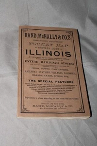
1890 Rand McNally & Co.’s Pocket Map Illinois Foldout Color Map Railroad System
US $29.99
ApproximatelyRM 126.18
Condition:
Oops! Looks like we're having trouble connecting to our server.
Refresh your browser window to try again.
Shipping:
Free USPS Ground Advantage®.
Located in: Ottawa, Illinois, United States
Delivery:
Estimated between Thu, 28 Aug and Tue, 2 Sep to 94104
Returns:
No returns accepted.
Coverage:
Read item description or contact seller for details. See all detailsSee all details on coverage
(Not eligible for eBay purchase protection programmes)
Seller assumes all responsibility for this listing.
eBay item number:126160894860
Item specifics
- Binding
- Brochure/Pamphlet
- Place of Publication
- Chicago
- Language
- English
- Publisher
- Rand McNally
- Topic
- American (US)
- Country/Region of Manufacture
- United States
- Subject
- History
- Original/Facsimile
- Original
- Year Printed
- 1885
Item description from the seller
Seller feedback (7,133)
- n***n (1721)- Feedback left by buyer.Past monthVerified purchaseVery nice item. Great service Thank you
- k***n (125)- Feedback left by buyer.Past monthVerified purchaseExcellent fast delivery, well packed.
- c***r (266)- Feedback left by buyer.Past monthVerified purchaseWorks
More to explore :
- Folding Map Maps & Atlases,
- City Maps Folding Maps,
- Michelin Folding Map Maps & Atlases,
- Maps & Atlases in English Folding Maps,
- European Maps & Atlases Folding Maps,
- World Maps & Atlases,
- Maps & Atlases Folding Map 2000-2009 Publication Year,
- Geological Maps in English,
- Michelin Maps & Atlases,
- London Maps & Atlases