1940-1949 Date Range Antique Europe Topographical Maps
16 Results
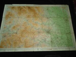
WW2 MILITARY TOPOGRAPHIC LINE MAP OUTER HEBRIDES RRH BENBECULA RAF STORNOWAY
RM 776.20RM 17.85 shippingLarge Ordinance Survey Map Guildford Horsham 1940 From 1866 Map , War Revision
RM 298.50RM 124.44 shippingExtra Large Ordinance Survey Map Of Barnstaple 1946
RM 298.50RM 124.44 shippingantique map das Europäische Russland Columbus Karte Russia
RM 140.78RM 97.09 shippingNew Listing1949 NATIONAL GEOGRAPHIC MAP BRISITSH ISLES ENGLAND SCOTLAND WALES IRELAND
RM 117.31RM 96.38 shipping1947 Vintage Folding Guide Map Swanage & S E Dorset Ward Lock & Co 9.75" x 9.5"
RM 119.42RM 48.67 shippingOld Folding Guide Map Anglesey North Wales 1949 J Bartholomew 14.5" x 12"
RM 149.28RM 48.67 shipping1940s John Bartholomew & Son WHARFEDALE half-inch colour contoured map Yorkshire
RM 35.77RM 35.77 shippingOld Folding Guide Map Chester to Llandudno 1949 J Bartholomew 21.5" x 10"
RM 149.28RM 48.67 shippingRARE LOT 5 WWII PAPER NAVY MAPS ASIA LARGE 1938 1941 1942 MILITARY PACIFIC VNTG
RM 1,525.02RM 209.90 shipping1947 Vintage Folding Guide Map Central Bournemouth Ward Lock & Co 15" x 8.75"
RM 149.28RM 48.67 shippingVintage Map: Snowdon, Wales, by John Bartholomew, Ward, Lock & Co, 1940s
RM 26.870 bidsEnding May 30 at 1:20AM MYT5d 15hRM 85.33 shipping1943 Military Topographic Map Pozarevac Smederevo Brani?evo Yugoslavia WWII
RM 422.33RM 93.85 shipping5 x Vintage Bartholomew Revised "Half-Inch" Contoured Maps 1946 - 1947 Wales
RM 149.28RM 161.88 shippingNovipazar (Serbia) topographical map, date shows 1940 1:200,000
RM 74.64RM 59.71 shippingOriginal Military Topographic Detailed Map Slovenia G. Dravograd Drava GIJA 1949
RM 377.28RM 93.85 shipping